
MAAP #91: Introducing Perusat-1, Peru’s New High-Resolution Satellite
August 27, 2018
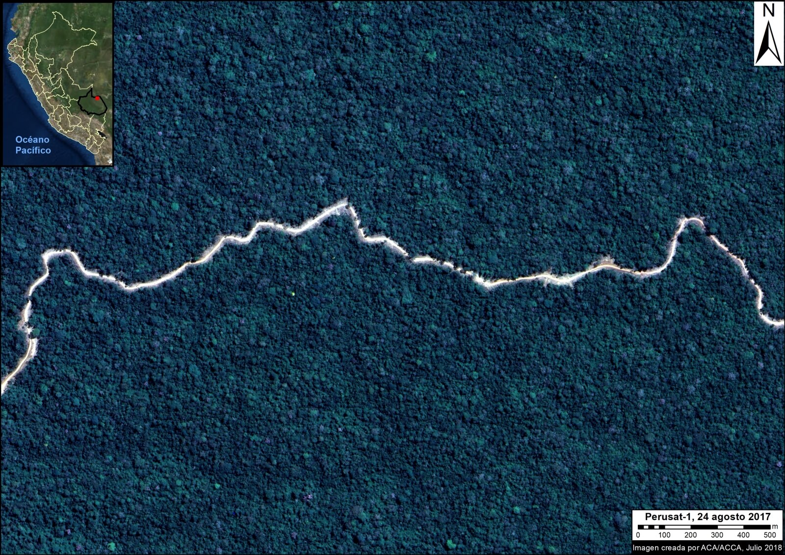
In September 2016, Peru’s first satellite, PeruSAT-1, launched. It is Latin America’s most powerful Earth observation satellite, capturing images at a resolution of 0.70 meters.
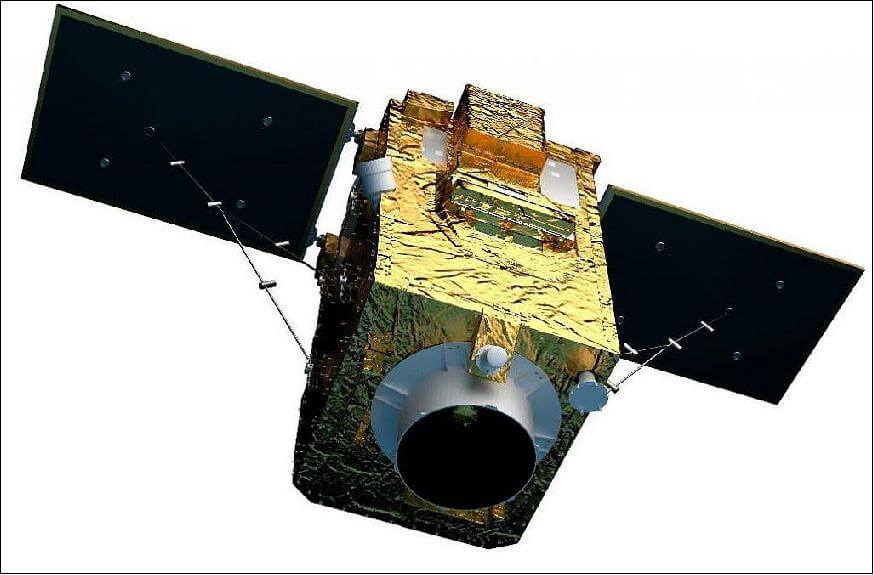
PeruSat-1. Credit: Airbus DS
The cutting-edge satellite was constructed by Airbus (France) and is now operated by the Peruvian Space Agency, CONIDA.
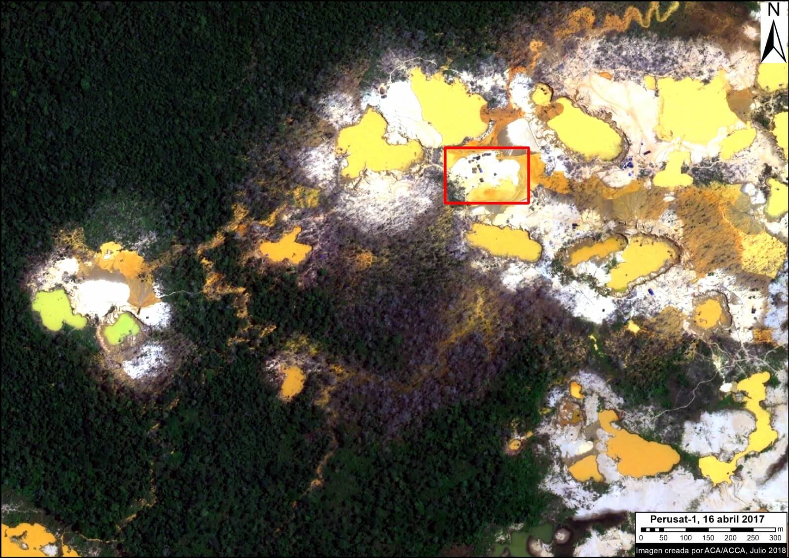
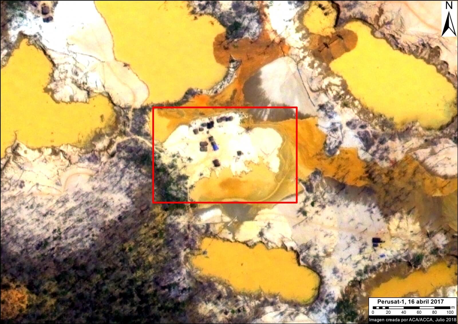
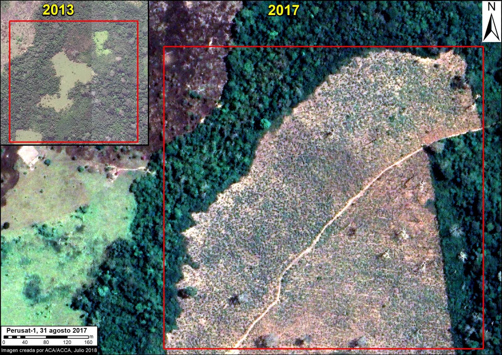
The organization Amazon Conservation was granted early access to the imagery to boost efforts related to near real-time deforestation monitoring.
Below, we present a series of PeruSAT images that demonstrate their powerful utility in terms of detecting and understanding deforestation in the Peruvian Amazon.
 Loading...


