
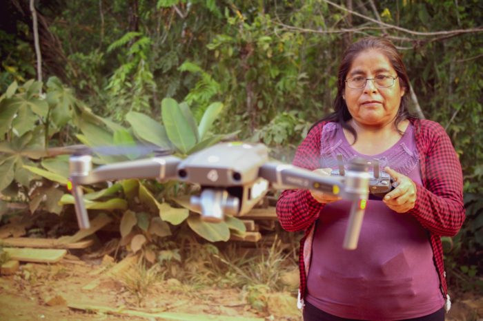
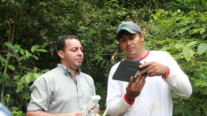
By establishing a comprehensive real-time monitoring system across the entire Amazon, we combine field-based and top-of-line remote sensing technology to improve communities and governments’ ability to detect, report, and act upon threats as they happen.
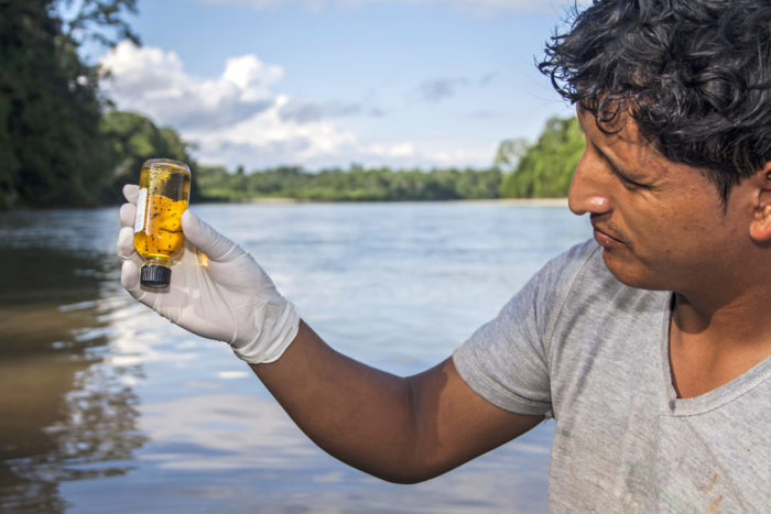
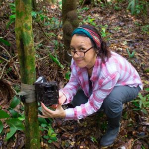
Through our network of conservation hubs, we drive innovation by hosting world-class scientific research and piloting cutting-edge technology — such as acoustic monitoring, camera traps, and environmental DNA analysis — to improve biodiversity monitoring and ecological health.
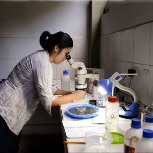
We conduct scientific research and put innovative technology to use to monitor ecological health and the effects of climate change, as well as promote better understanding that drives conservation decisions and actions.
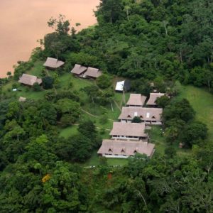
Located where the Andes meet the Amazon, our three conservation hubs are the cornerstone of our work and a vital asset to further the world’s understanding of the Amazon. Each conservation hub advances our mission by serving as:
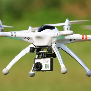
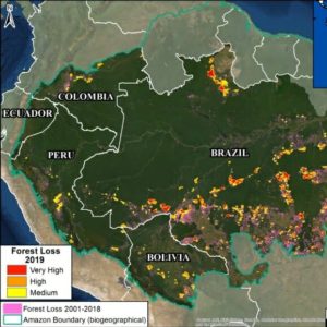
The vastness of the Amazon can be a major challenge to keeping it protected. We’re using technology to change that. Our monitoring system is helping reduce deforestation by using satellite imagery, drones and GIS to find, analyze, and report deforestation as it happens in real-time. To date, we’ve exposed over 2.5 million acres of deforestation. Not only do we provide this vital analysis in real-time, but we are also helping bridge the gap between generating information and taking action on the ground. To achieve this, we partner with Peruvian government officials, park guards, police, judges, and prosecutors to train them on the use of satellite and drone imagery as a legal tool to prosecute offenders. Together we have been able to stop several incidents of illegal gold mining and logging, including in protected indigenous territories.
Knowing the exact location of key tree species in a forest can help answer questions that improve conservation decisions and make forest production easier for communities. For the local communities in Santa Rosa del Abuná in Bolivia, finding a mature Brazil nut tree can mean having to walk for an entire day or more in difficult forest terrain, since no forest inventory existed. We have developed an innovative system to detect, analyze, and classify Brazil nut trees using remote sensing, drones and photogrammetric analysis. This has helped communities identify and collect information on over 53,000 Brazil nut trees, helping clarify species density, potential production, and forest health. This data is also being useful for municipal and community leadership to inform their natural resource use and conservation decisions, as it helps promote forest-friendly production.
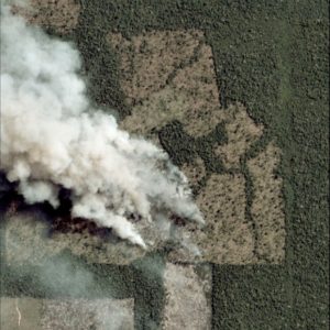
Driving Down Illegal Deforestation in the Amazon Illegal deforestation in the Amazon often moves faster than governments can respond, especially in remote Indigenous territories affected by illegal gold mining. Over the past five years, Amazon Conservation’s Technology Meets Policy initiative worked to close that gap by linking real-time monitoring with coordinated enforcement and stronger governance. […]
Dear Supporters of Amazon Conservation, As I begin my tenure as Board Chair, I am honored to build on the extraordinary legacy that has defined Amazon Conservation for nearly 25 years. This organization has always stood apart for one simple reason: its commitment to pairing world-class science and technology with the experience, leadership, and resilience […]
From Nashville to the Amazon: Linking Business, Sustainability, and Ecosystems Business supporters are one of Amazon Conservation’s favorite avenues to raise awareness and support for our work because of their unhindered desire to give back to the planet. Whether directly donating to our work, promoting awareness of the Amazon’s importance to their clients, running campaigns […]
 Loading...


1025 Connecticut Ave NW · Suite 415 · Washington DC 20036 · USA
202-234-2356 / info@amazonconservation.org

