Note from the Field: Real-Time Monitoring in Brazil
July 12, 2026
Dear Friend of the Amazon,
My name is Jorge Villa, and I am a GIS and Remote Sensing Specialist at Fundación EcoCiencia in Ecuador. Over the years, I’ve come to greatly value the partnerships that continue to strengthen our work because long-term conservation of the Amazon requires the commitment and work of many people and organizations. It truly cannot be done individually.
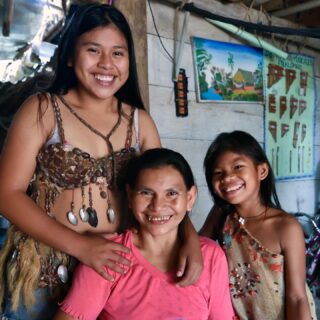
Ecuador’s Amazon is home to Indigenous peoples like the Shuar Arutam, whose territory has faced illegal gold mining. Defending land that vast and remote is hard when you cannot see what is happening inside it. Satellite imagery changed that for us.
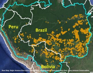
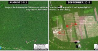
In 2021, we began working with Amazon Conservation’s Monitoring of the Andes Amazon Program (MAAP). Today, EcoCiencia leads 100% of MAAP’s real-time monitoring in Ecuador. When an alert appears, we verify it, document it, and share it with Indigenous leaders and with the authorities who can respond. Satellite data shows us where to look. The Shuar Arutam and other communities bring the knowledge of the land and the determination to protect it.
Together, we turn information into evidence, and evidence into action.
The results are encouraging. Since 2020, deforestation has declined in Shuar Arutam and Waorani territories, and Ecuador’s monitoring now rests in Ecuadorian hands.
For me, this work is personal. Every map we produce helps an Indigenous community make its case, and every alert we verify is a chance to protect a territory that others call home.
Because of you, communities like the Shuar Arutam do not stand alone, and local organizations like Fundación EcoCiencia have the tools to stand with them.
“Today, EcoCiencia is leading this work on their own, strengthening their own monitoring capabilities, and supporting Ecuadorian communities with this important work to stop the spread of deforestation. That is exactly what success looks like for us at Amazon Conservation. Their leadership makes the whole Amazon Conservation network stronger. – Nadia Mamani, Senior Geospatial Analyst and Partner Strategy Lead at Amazon Conservation.
Your support makes this possible.
With heartfelt thanks,
Jorge Villa
GIS and Remote Sensing Specialist
Fundación EcoCiencia
 Loading...