
At Amazon Conservation, we bridge the gap between traditional practices of conservation and innovative new technologies by creating a holistic conservation strategy that employs the best of both worlds.
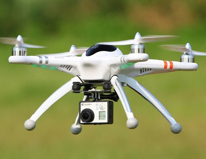
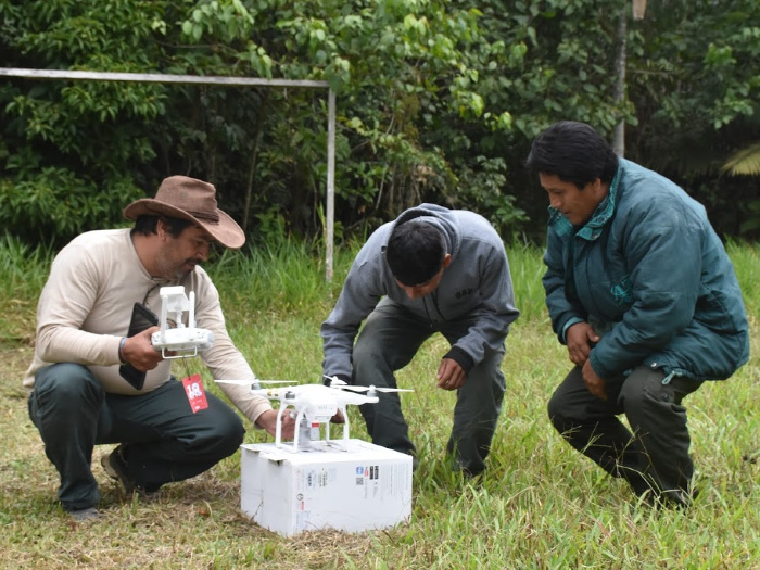
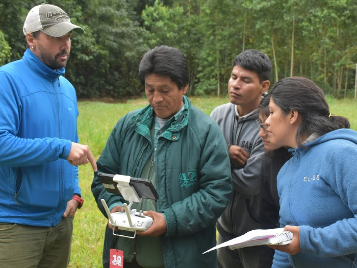
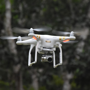
Our drone center, the first of its kind in Peru, is training local landowners, indigenous communities, students, and government officials to use cutting-edge drone technology to find, monitor and stop deforestation.
We provide locals the technology, knowledge, legal support and connections so they can safely and effectively take action
In the past, deforestation often wouldn’t be discovered until years the damage was already done to an irreversible point.
We created our MAAP project to help combat that. MAAP is dedicated to presenting original analysis related to the dynamic new field of near real-time deforestation monitoring. Our goal is to present timely, high-impact technical reports in an easily accessible and understandable format.
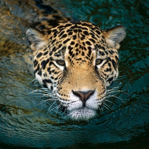
Camera trap technology enables us to document wildlife presence, abundance, and population changes, particularly in the face of deforestation and habitat destruction.
We deploy camera traps all throughout the western Amazon, at our research stations and at multiple conservation areas we help manage. We have deployed over 100 camera traps and gathered over 10,000 photos and videos of more than 40 species of mammals and birds.
Many of the species captured on camera have an endangered status (Near Threatened or Vulnerable) according to the IUCN Red List, including jaguars, giant anteaters, giant armadillos, white-lipped peccaries, tapirs, and pale-winged trumpeters.
Of deforestation exposed to date through our MAAP program
Taken to monitor local biodiversity and forest health
Published to date, informing the public and local authorities
Driving Down Illegal Deforestation in the Amazon Illegal deforestation in the Amazon often moves faster than governments can respond, especially in remote Indigenous territories affected by illegal gold mining. Over the past five years, Amazon Conservation’s Technology Meets Policy initiative worked to close that gap by linking real-time monitoring with coordinated enforcement and stronger governance. […]
Dear Supporters of Amazon Conservation, As I begin my tenure as Board Chair, I am honored to build on the extraordinary legacy that has defined Amazon Conservation for nearly 25 years. This organization has always stood apart for one simple reason: its commitment to pairing world-class science and technology with the experience, leadership, and resilience […]
From Nashville to the Amazon: Linking Business, Sustainability, and Ecosystems Business supporters are one of Amazon Conservation’s favorite avenues to raise awareness and support for our work because of their unhindered desire to give back to the planet. Whether directly donating to our work, promoting awareness of the Amazon’s importance to their clients, running campaigns […]
 Loading...


1025 Connecticut Ave NW · Suite 415 · Washington DC 20036 · USA
202-234-2356 / info@amazonconservation.org

