
 For 25 years, Amazon Conservation has worked hand in hand with Indigenous communities, scientists, and local partners to protect the Amazon’s most important forests and rivers. From the remote biological stations in the heart of the rainforest to remote, biodiversity-rich protected areas, our teams are on the ground monitoring wildlife, restoring habitats, and supporting sustainable livelihoods that keep the Amazon standing.
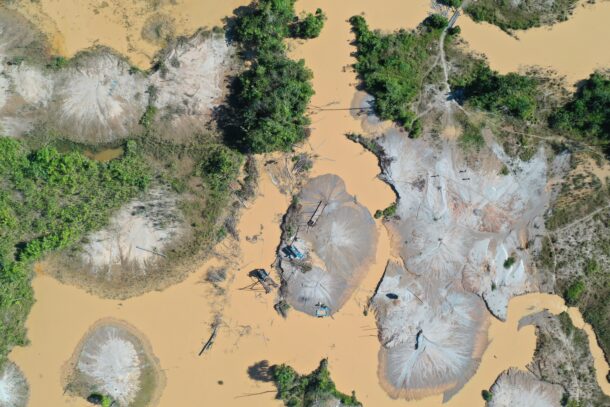
Yet this irreplaceable forest faces mounting threats from deforestation and climate change, making our work more urgent than ever.
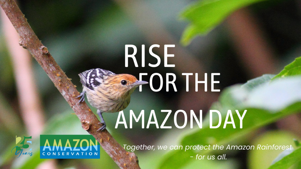
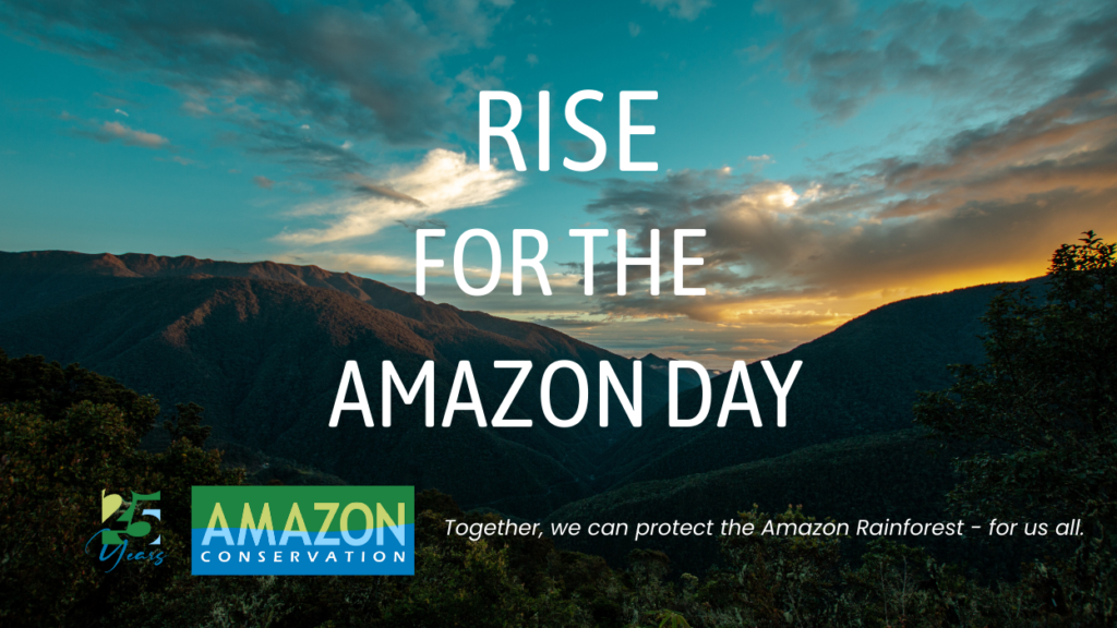
In just one week, on September 5, we come together for our inaugural Rise for the Amazon Day, a global call to action to protect the forests that give the world so much–in the form of air, food, water, medicine, and climate stability–and support the local communities who depend on them. This day is about more than awareness; it is about joining the movement to defend the Amazon’s wildlife, conserve rivers and waterways, and empower local and Indigenous leaders working tirelessly to safeguard their ancestral lands.
Together, we can protect the Amazon Rainforest–for us all.
A Special Invitation for Our Donors
To show our gratitude for your ongoing support, all donors will receive an invitation to a donor-only webinar on September 16. This virtual event will provide exclusive previews of major findings and the latest news on our conservation work directly from experts in the field, as well as the opportunity to interact and ask any questions to these scientists. This is our way of bringing you closer to the impact you help make possible.
Donate today before the webinar fills up!
Make an Impact
Rise for the Amazon Day is a perfect opportunity to explore smart giving strategies that maximize your impact. Even in an uncertain economy, there are multiple ways to contribute to support nature without impacting your current budget and taking advantage of tax benefits. Here are some ways to give thoughtfully while supporting the Amazon:
- Monthly or Recurring Gifts: Split your high-impact annual donation into manageable monthly contributions to maximize your impact, while also giving our teams predictable resources to protect the forest year-round.
- Donor-Advised Funds (DAFs): A DAF allows you to make a charitable contribution, receive an immediate tax benefit, and recommend grants to Amazon Conservation over time. Learn more and start your DAF gift here.
- Gifts from Your Estate: Plan a future gift through your will or estate that supports the Amazon for generations to come. This is a meaningful way to leave a lasting legacy.
- Matching Gifts and Corporate Giving: Many employers match charitable contributions made by their employees. Check if your company offers a matching program to double your impact.
- Gifts of Appreciated Assets: Contributing stocks, mutual funds, or other assets can provide significant tax advantages while supporting critical conservation work. Learn more about these options here.
These strategies allow you to give smarter, make a bigger impact, and ensure your support is tailored to your goals and values. Every gift helps protect wildlife, support Amazonian families, and keep forests standing and thriving.
As we look ahead over the next week towards this first Rise for the Amazon Day, we invite you to reflect on the difference we can make when we work together. Stay tuned for more details about the donor-exclusive webinar and other ways to engage. Your support is what makes this movement possible.
Together, we can protect the Amazon Rainforest–for us all.
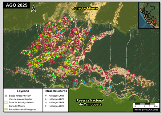
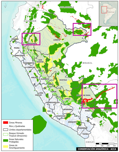
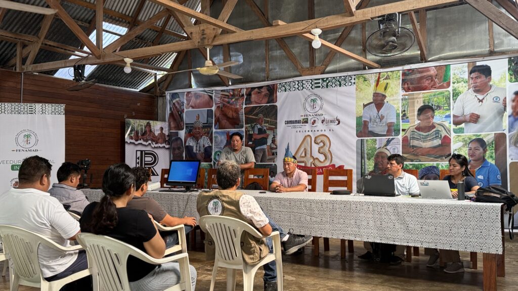
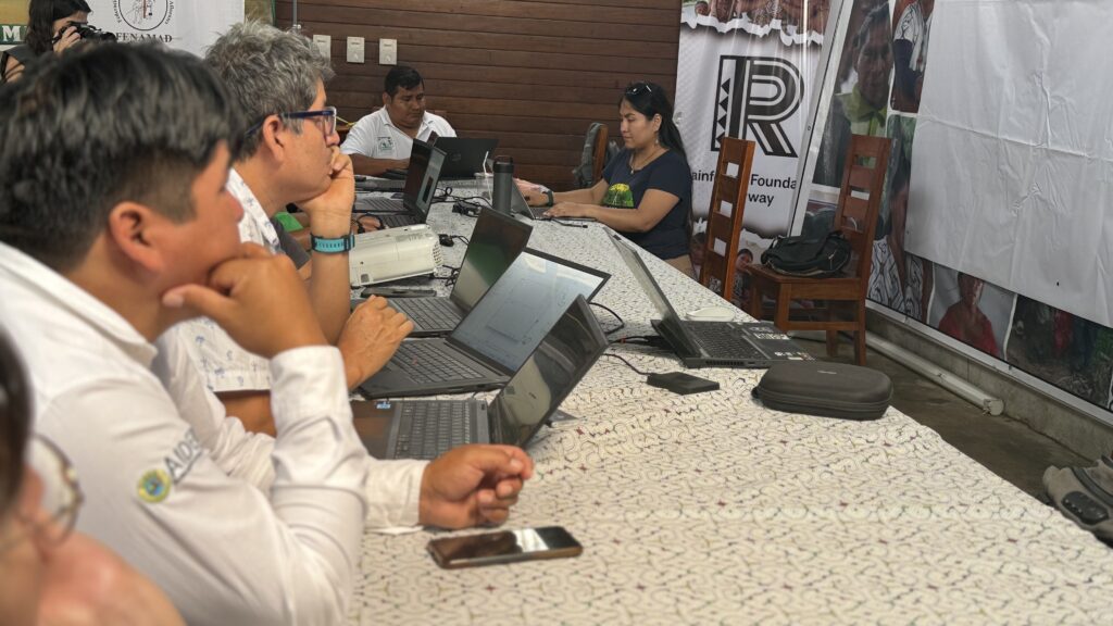 The work of community monitors, known as
 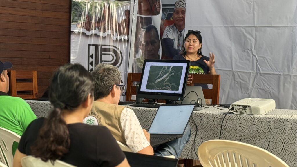 For Nadia Mamani, Senior Geospatial Analyst & Partner Strategy Lead at Amazon Conservation, the initiative’s power lies in its ability to bridge technology, law, and traditional knowledge. “This integration is essential to reversing the spread of illegal activities and supporting Indigenous-led conservation.”
 Loading...


