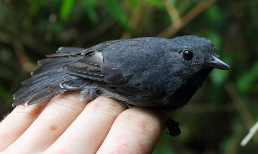
Long-winged antwren
If you spend enough time at Los Amigos, there is almost a 100% guarantee that you will learn something new about birds every day. It’s not only the high diversity that can enchant your walks at the break or end of day inside the forest, but also their behavior, different calls, colors, and attractive displays. A few weeks ago, I had the great opportunity to go birding with a passionate local bird guide and after a very active morning of spotting numerous bird species (e.g. the band-tailed manakin, gilded barbet, golden-collared toucanet, cream-colored woodpecker, and more) along floodplain forest we reached a spot close to the oxbow lake “Cocha Lobo.” There was fluttering movement all around the understory, and a variety of songs and calls of at least 20 different bird species. Just looking at an area of only 10x10m, it was clear that there were several birds perching, foraging, and flying from one branch to the other, while also carefully sighting the proximity of any possible predator. This was definitely a mixed-species bird flock (hereafter called “flock”).
Flocks are two or more bird species that move together and forage for a period longer than 5 minutes. These associations are not only common in the Neotropics but all around the world. Despite the commonality of encountering a flock, it is still easy to wonder what exactly makes these species get together? Are there any advantages of these periodic formations? There are some possible hypotheses, but they all are based around an increased feeding efficiency and protection from predators. Most of these flock species are insectivorous, and although flock’s species composition might not always be the same, there are few species that are the core of the flock, known as “nuclear” or “leader” species. Whereas, “transient” or the “follower” species are those who join occasionally to receive some benefits from being part of the flock.
Sean Williams, PhD., studied the behavior and ecology of mixed-species bird flocks at Los Amigos. Here, at least a pair of Dusky-throated antshrikes (Thamnomanes ardesiacus) and a pair Long-winged antwrens (Myrmotherula longipennis) are the “leader” species, whereas the most common “followers” are the wedge-billed woodcreeper, the white-flanked antwren, the white-eyed antwren, and the red-crowned ant-tanager. While trying to study if followers were more attracted to antshrikes, antwrens or both, Sean found that more follower species were attracted to antshrike than antwren calls, supporting the idea that antshrikes provide greater defense from predators due to their farsighted vision and loud alarm calls that can rapidly prevent other flock members from the proximity of majestic raptors, soaring high in the sky. But if antwrens are also leader species, they should provide some sort of benefit to the flock. Indeed, they might not be able to give alarm calls but their nearsighted vision allows them to quickly detect gleanable insects in between leaves and branches. Given the inextricable link between antwrens and antshrikes in flocks, antwrens could have become a critical indicator of flock presence. Essentially meaning that where there are antwrens there must be antshrikes!
Watching a flock is quite a spectacle! The next time you encounter a loud, numerous group of birds flying from perch to perch in the forest understory, grab your binoculars and enjoy the complexity and splendor of these flying living beings, but be sure to acknowledge how many passionate human beings are working to understand them in their natural environment.
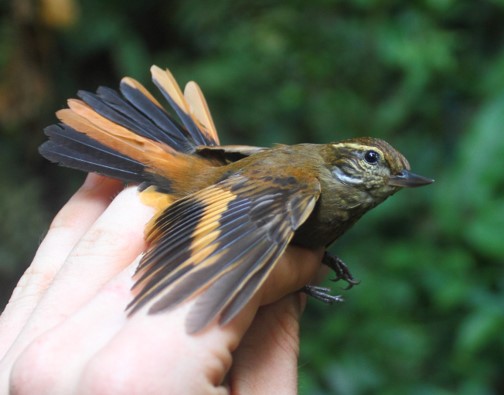
Plain xenops
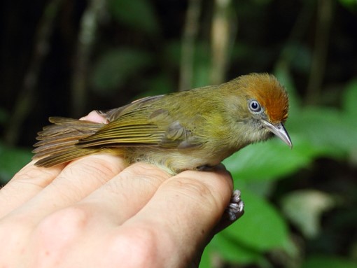
Tawny-crowned greenlet
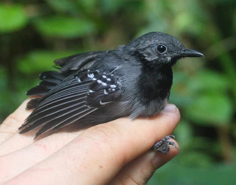
Dusky-throated antshrike

 Loading...


