
 Behind every success at Amazon Conservation is an array of individuals with a shared passion for the Amazon: our generous donors and funders, dedicated staff (bothon the ground in Latin America and at our headquarters in Washington,DC), and world-class Board of Directors. Our Board brings together passionate leaders in science, business, and conservation who selflessly lend their invaluable expertise, vision, and financial support to help protect the rainforest we all love and the people who depend on it.
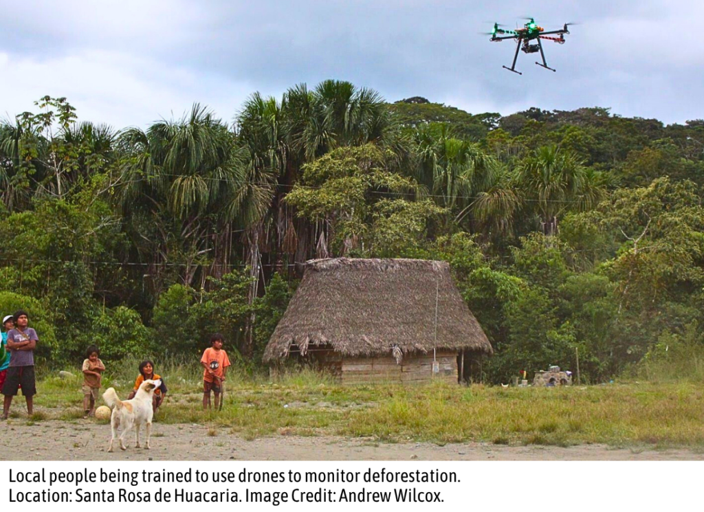
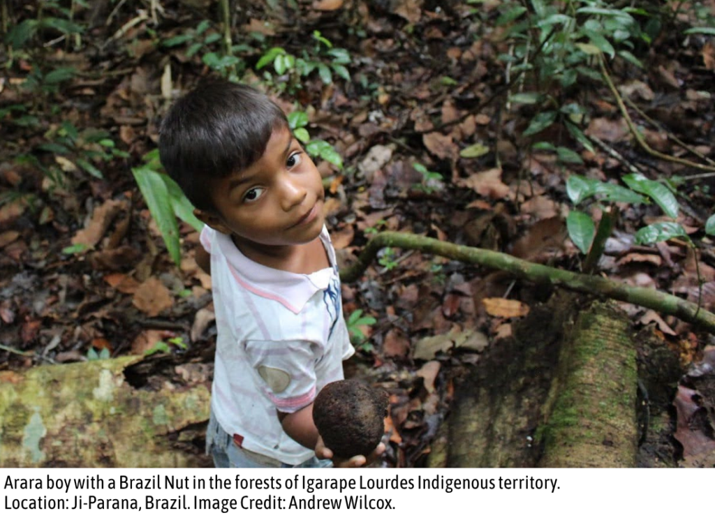
Andrew Wilcox hit the ground running when he joined the Amazon Conservation Board not too long ago in 2023. Andrew boasts an extensive background in the field of bioeconomy, including in the Amazon, with professional experience in the sustainable commercialization of forest products such as açaí and Brazil nuts — a perfect complement to our forest-based economy initiative. He’s been hard at work behind the scenes at Amazon Conservation, actively leading several exciting pilot projects within the Board.
Keep reading to discover how Andrew found his way from the concrete jungle of New York City to the forests of the Amazon – and to Amazon Conservation!
_________________________________________________________________________________________________________________________________
Tell us a little bit about yourself.
I was born and raised in Brooklyn, New York, but some of my happiest memories are from summers spent exploring the Housatonic River in Connecticut, which sparked my lifelong curiosity about and love of nature. After studying Economics and History in undergrad, I joined the Peace Corps and spent more than half a decade living and working in rural Latin America (Paraguay, Peru, and Brazil), followed by two years on an organic farm in New York’s Hudson Valley. Later, I earned Master’s degrees in Sustainability and Forestry, worked at a nature- and space-tech startup, and eventually joined Unilever, where I’ve spent the past eight years sourcing ingredients and commodities sustainably, from palm oil in Indonesia to soybeans in Iowa. My current role is Associate Director of Sustainability for Procurement Strategy & Insights at Unilever.
These days, I live outside Boston with my wife and young daughter. And a fun family fact: one of my distant ancestors actually explored and mapped parts of the northeastern Amazon back in the 1600s in what’s now the Brazilian state of Amapá!
What sparked your interest in conservation?
I’ve had an affinity for nature since childhood, but my first hands-on experience with conservation (or what I like to call “applied nature”) came during my Peace Corps service in Paraguay. I learned so much from the Paraguayans’ deep connection to nature – especially medicinal plants (“pohã” in the native Guarani language) — knowledge I applied when starting a business exporting yerba mate, a caffeinated herbal tea endemic to South America, to a new US consumer market. While operating my yerba mate business, I focused heavily on the lessons I’d learned from local Indigenous peoples with regard to agroforestry, novel ingredients, and the reforestation of key watersheds in the eastern Amazon.
 How did you first connect with Amazon Conservation?
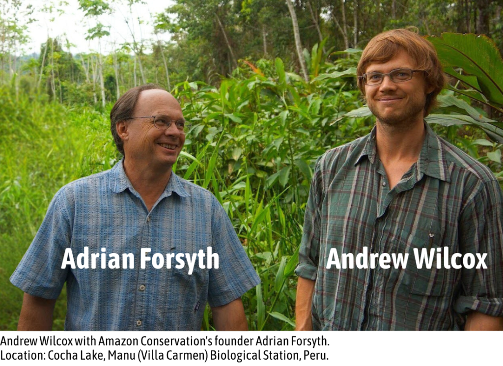
After my yerba mate business ended, I decided to take a leap of faith and follow a lifelong dream: I went to “the greatest wild forest on Earth.” Amazon Conservation was well-established by then, so I found Amazon Conservation through my online research and applied for a volunteer position at the Manu Biological Station in Peru. I eventually managed a project focused on improving soils for sustainable agriculture and had the incredible opportunity to learn directly from Amazon Conservation’s co-founders, Adrian Forsyth and Enrique Ortiz, whose mentorship played a formative role in how I think about the Amazon, sustainability, and life.
From your perspective as a Board Member, what is it that sets Amazon Conservation apart from other similar organizations?
Reaching 25 years is an amazing accomplishment! But what really stands out to me is how Amazon Conservation combines innovation with deep community partnership. From deforestation monitoring to expanding the bioeconomy, Amazon Conservation ensures that technology isn’t just state-of-the-art, but also that it’s accessible to and scalable for the people who live and work in the Amazon. To me, as someone who has spent a significant portion of my career working with technology – in big corporations, startups, and academic research – it is that human-centered approach to conservation that truly makes Amazon Conservation exceptional.
What have you learned from your Board service thus far?
That relationships are everything. Lasting conservation isn’t just about protecting forests; it’s about nurturing the relationships that make protection possible. Amazon Conservation’s widespread impact is possible only thanks to close collaboration with our sister organizations in Peru (Conservación Amazónica–ACCA) and Bolivia (Conservación Amazónica–ACEAA), alongside all of our collective networks of local partners. Having an organization in the Global North working with organizations in the Global South on a complementary and co-equal basis is a unique and potent collaborative model that we believe is the most effective pathway for positive impact – and the whole enterprise relies on good, trusting relationships.
Why is our mission of protecting the Amazon so important? 
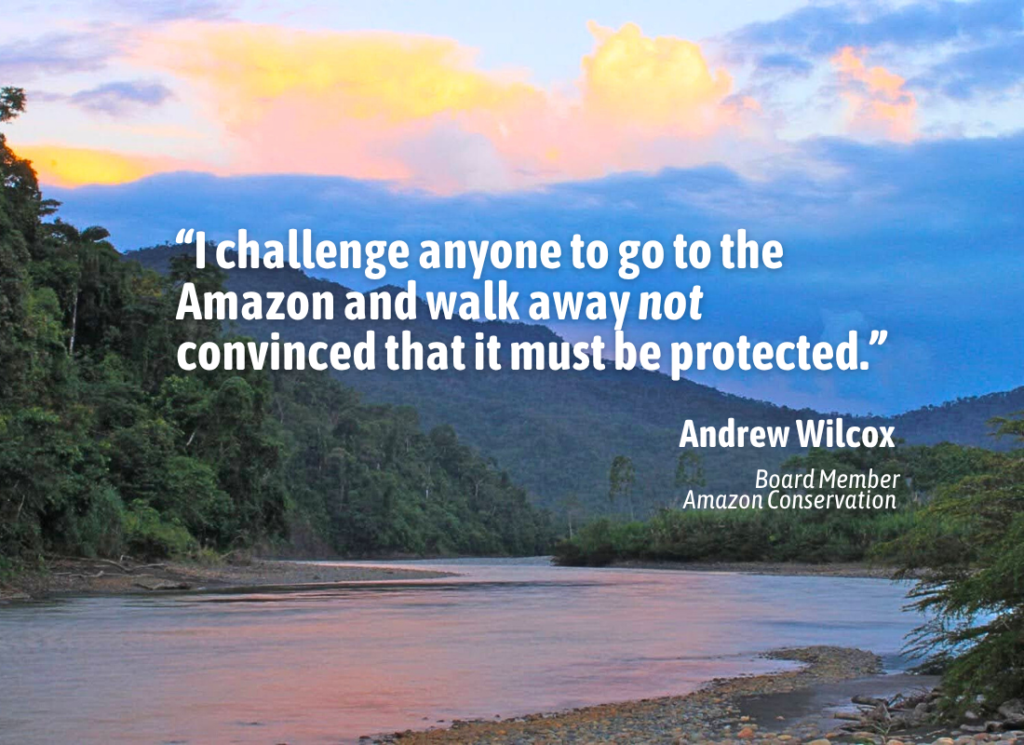
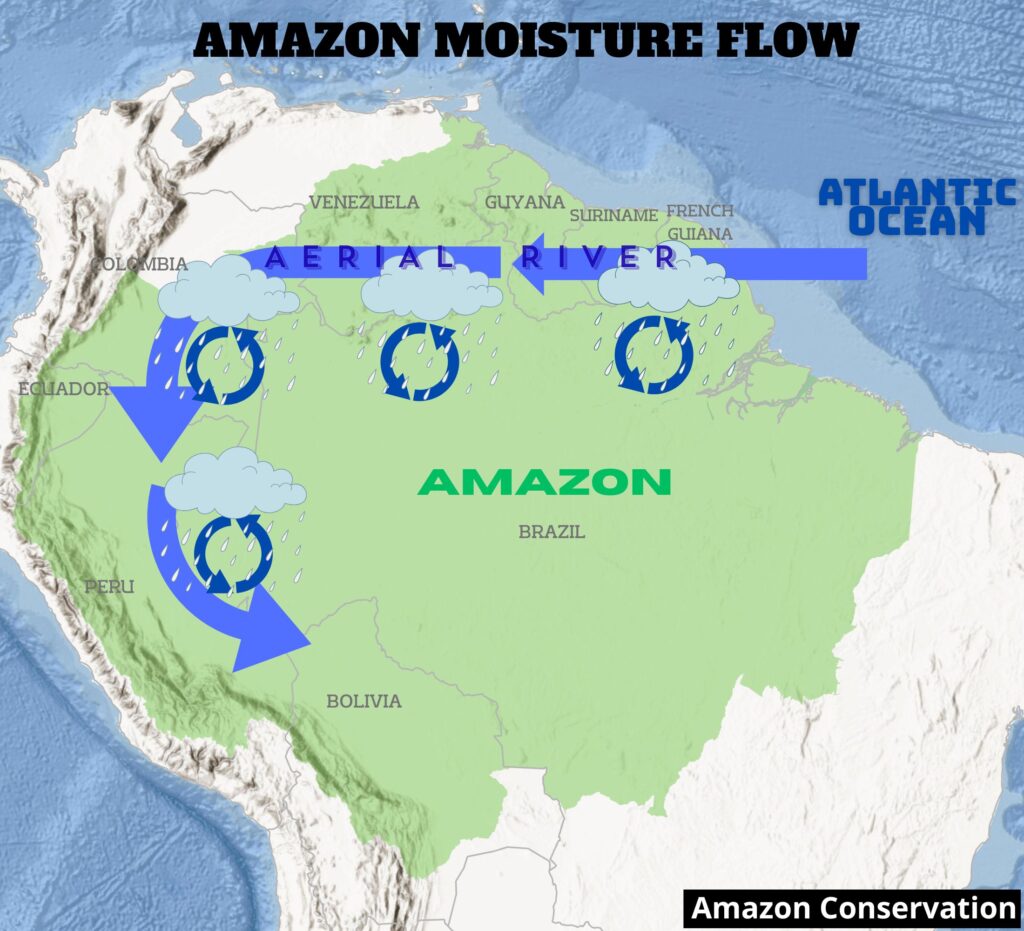
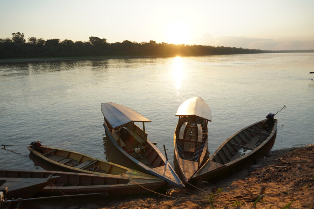
The Amazon is essential for life on Earth. It stores vast amounts of carbon, regulates rainfall across South America, and sustains millions of people and an unparalleled diversity of species. But beyond its global importance, the Amazon is a place of transcendental beauty, awesome scale, and inconceivable creativity in both the life strategies of the plants and animals it supports and the cultural expressions of the Indigenous and traditional communities that call it home. It’s an irreplaceable part of the Earth’s patrimony that we share with all life. I challenge anyone to go to the Amazon and not walk away convinced that it must be protected.
What advice would you give to others seeking to make a difference?
Support Amazon Conservation! But beyond donating, simply learning about the Amazon – caring about it and sharing that passion with others – makes a big impact. Awareness leads to action, and it takes ongoing attention and focus to stay engaged with what really matters. Attention is the scarcest resource of all these days, but if we stay committed for the long haul, we can build a future for the Amazon, and for the world, that’s both prosperous and sustainable.
Is there anything else you’d like people to know about Amazon Conservation?
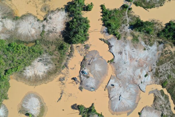
Despite our name, Amazon Conservation isn’t just about protecting forests; it’s about reimagining what development can look like. The Amazon can and should contribute to human wellbeing and prosperity, but in ways that regenerate, not deplete, its natural and human capital. Currently, huge swaths of the Amazon are still being converted to cattle pastures, soybean fields, and gold mining, all of which are extractive in nature. But it doesn’t have to be this way; there is a path forward in which the region benefits from producing high-demand materials in such a way that regenerates the natural and human capital required for production. The transition starts small, maybe with a handful of Brazil nuts or an açaí smoothie, but it leads to something much bigger: a new vision for the region’s future that’s as dynamic, abundant, and beautiful as the forest itself.
As Andrew’s journey shows, lasting change for the Amazon starts with people who care deeply, think creatively, and act boldly. Join us in protecting this irreplaceable forest and the people and nature that depend on it by making a tax-deductible gift to Amazon Conservation today.
 .
. 
 .
. 
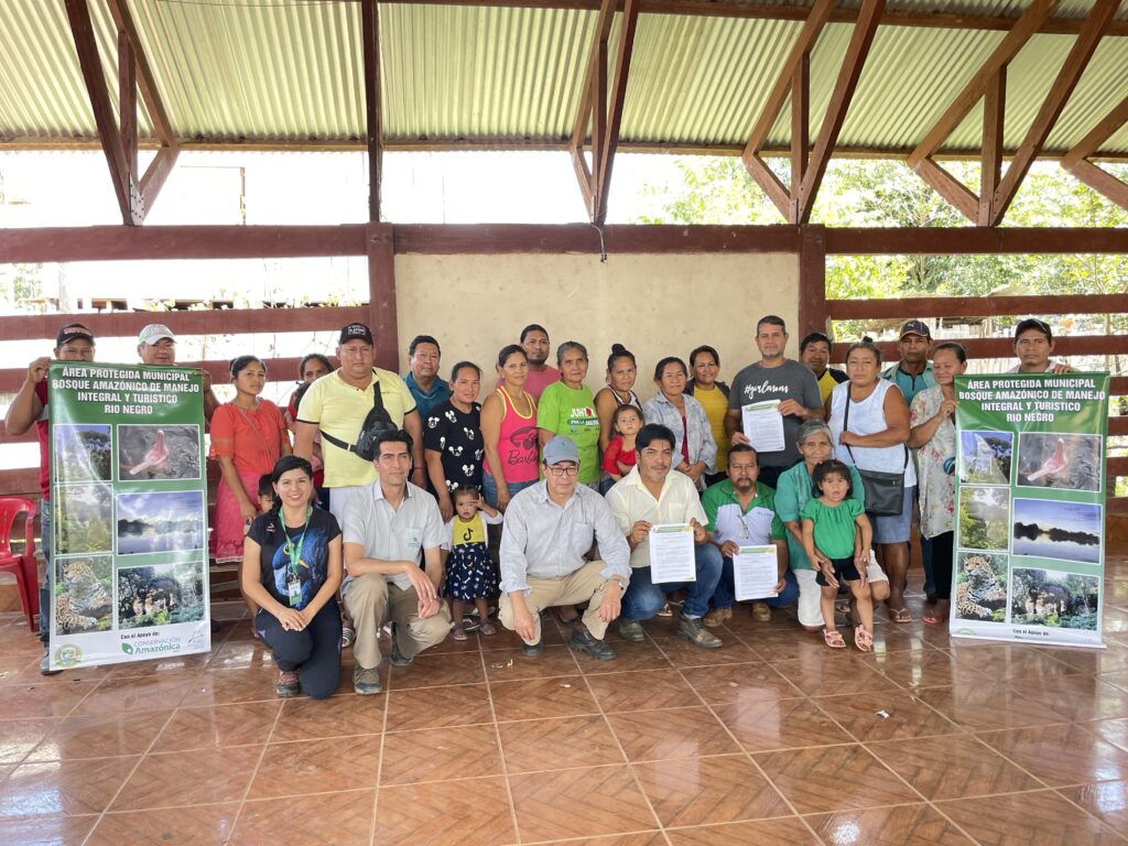
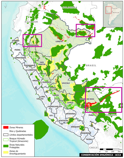
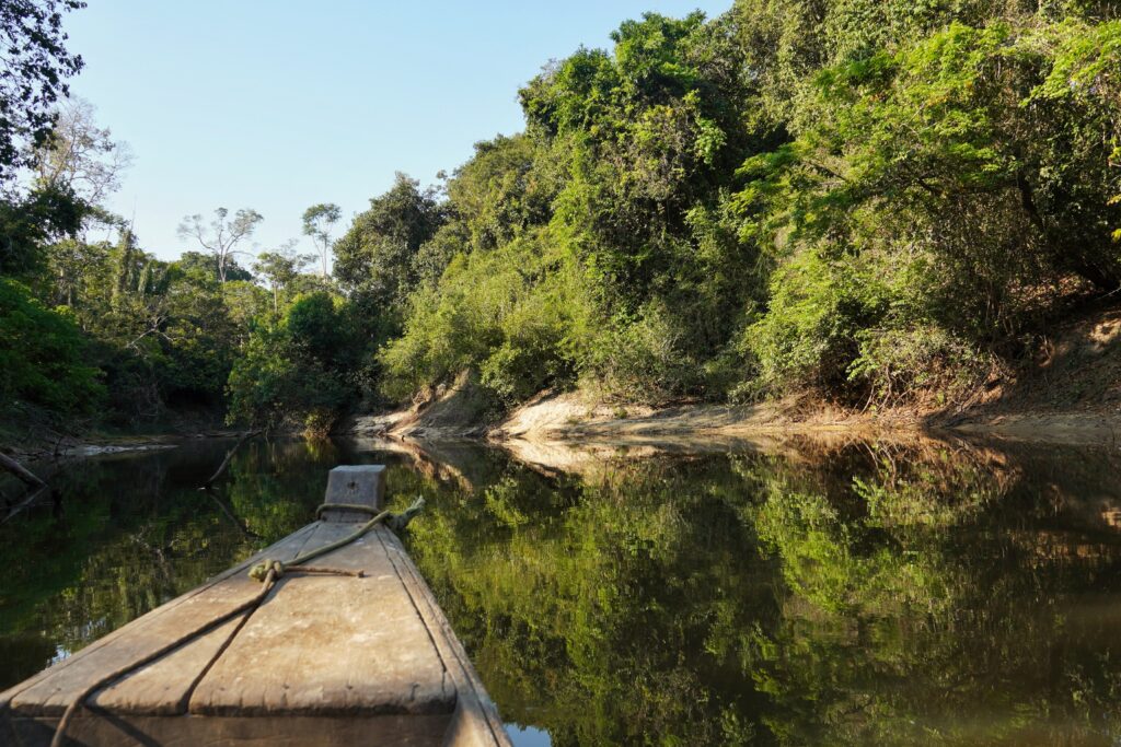 The Tacana II Indigenous Territory is an area of high ecological and strategic importance for the conservation of the Bolivian Amazon. This territory harbors:
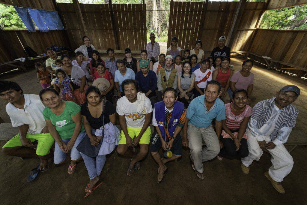
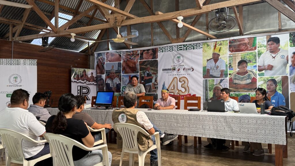
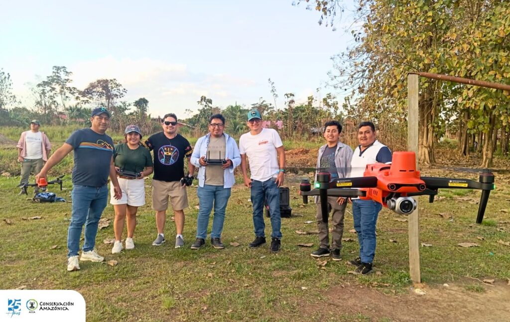
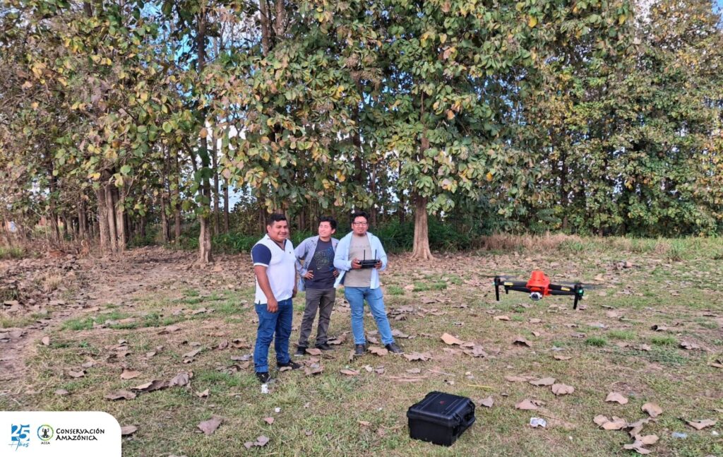
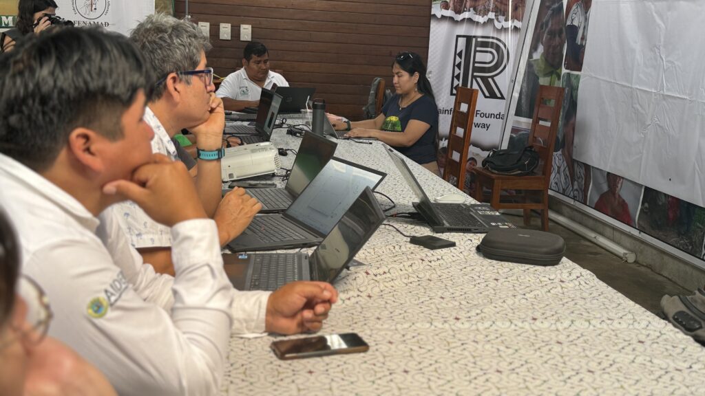 The work of community monitors, known as
 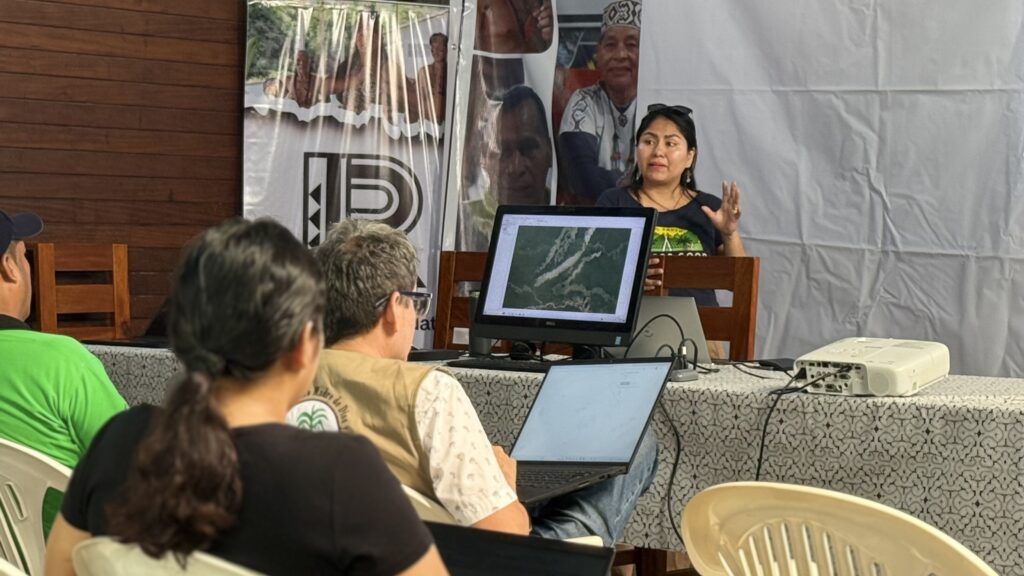 For Nadia Mamani, Senior Geospatial Analyst & Partner Strategy Lead at Amazon Conservation, the initiative’s power lies in its ability to bridge technology, law, and traditional knowledge. “This integration is essential to reversing the spread of illegal activities and supporting Indigenous-led conservation.”
 Loading...


