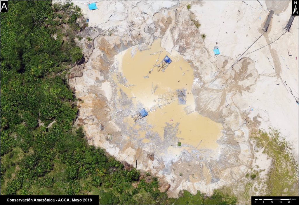
 This past month we launched our Radar Mining Monitoring Tool (RAMI), which is a new satellite monitoring tool that incorporates radar technology. Traditional satellite monitoring is effective in tracking deforestation but is limited by cloud cover. This new tool will help us more effectively monitor and combat illegal gold mining in real-time, as radar allows us to see through clouds.
RAMI uses high-tech C-band synthetic aperture radar observations from the European Space Agency‘s Copernicus Sentinel-1 satellite, combined with freely-available high-resolution Planet data provided by the Norwegian International Climate and Forest Initiative (NICFI). This means that the radar sends and receives consecutive radio wave pulses to the Earth’s surface, which allows it to recognize subtle changes in forests. Because mining modifies the Earth’s surface differently than what occurs naturally, the radar can identify possible areas of illegal gold mining. When this data is combined with high-resolution satellite imagery, we can monitor areas deep within the Amazon forest remotely and in real-time.
“The novelty of using synthetic aperture radar in a real-time detection system in the Amazon is unique,” Sidney Novoa, Director for GIS at our sister organization Conservación Amazónica-ACCA, told NASA in a recently published article. “Because radar penetrates through clouds, it makes it possible to generate and obtain consistent and frequent information on gold mining areas year-round, without interference.”
Sidney notes the unique approach of this collaborative project. “The bottom-up approach in which regional scientists from Conservación Amazónica-ACCA are working together with government agencies is unique,” he added. “Collaborating to develop a detection system fulfills targeted needs to halt the negative implications of illegal gold mining in the region.”
Watch the launch webinar for the RAMI Satellite Monitoring tool (in Spanish).
This project is a collaboration between:
- Peruvian government’s Ministry of Environment (MINAM)
- National Program for Forest Conservation and Climate Change (PNCBMCC)
- National Aeronautics and Space Administration (NASA)
- United States Agency for International Development (USAID)
The service is an effort by SERVIR-Amazonía, which is a joint initiative between NASA and USAID-Peru. In Peru, SERVIR-Amazonía is implemented by:
- Our sister organization, Conservación Amazónica-ACCA
- Alliance of Bioversity International and the International Center for Tropical Agriculture (CIAT)
- Spatial Informatics Group (SIG)
- Institute for Forest and Agriculture Management and Certification (IMAFLORA)
- Fundación EcoCiencia.

 Loading...


