
 Amazon Conservation’s Wayqecha Research Station and Conservation Hub, the only cloud forest research station in Peru, officially opened its doors in 2006. Located at 2,900 m of elevation in the cloud forest region of Cusco and just 175 km from our Los Amigos Conservation Hub in the Amazonian lowlands, these research sites together provide a full panorama of the biodiversity and climate changes in the Andes-Amazon region.
Wayqecha Research Station protects the cloud forest’s biodiversity and facilitates research that leads to a better understanding of this ecosystem. Cloud forests receive hundreds of inches of rain every year and their trees, mosses and soil work as giant sponges capturing the abundant rainfall and then releasing it slowly into a network of small streams and creeks that represent the smallest tributaries of the vast Amazon drainage.
Cloud forests are of critical conservation value for many reasons, including containing a vast storehouse of species, many of them narrowly endemic, and also serve as natural corridors for plant and animal species pushed uphill by global warming.
 Additionally, three years after opening, we added the first-ever canopy walkway in an Amazonian highland cloud forest. The canopy walkway provides access to the upper parts of the forest, which is where a lot of natural activity is, including an amazing diversity of bromeliad, orchids, birds and butterflies. It consists of four aluminum towers connected by a 146-meter-long network of suspension bridges that pass under, through, and above the forest canopy. Another important feature of the canopy walkway is a rigid truss bridge through a small rock canyon that leads to the base of a waterfall passing through an area with a completely distinct climate and Cloud Forest Canopy. Other bridges lead visitors across forested slopes that cover eight distinct eco-zones, providing a view from more than 10,000 feet in elevation down to the Amazon basin.
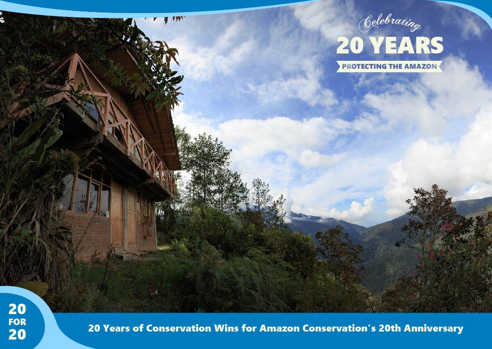
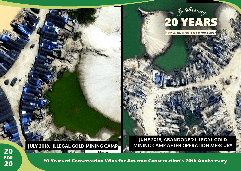
This is part of a series commemorating our 20th anniversary protecting the Amazon. We’re celebrating this milestone with a look back at our 20 biggest conservation wins over the past 20 years. Click here to support protected areas and research stations around the Amazon.
 Loading...


