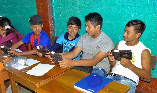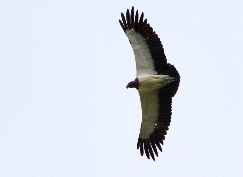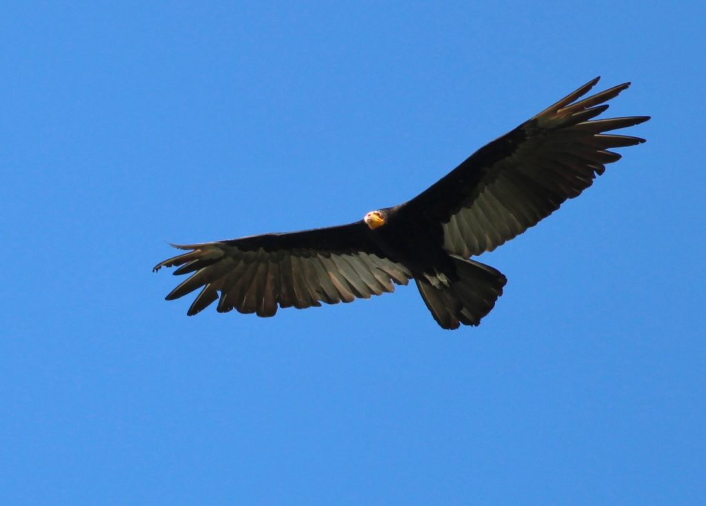
Last year, we began the search for the most talented and passionate students and/or professionals that have found their greatest inspiration and reason to protect the Amazon rainforest to be birds.
Uncategorized
Andean Amazon from top to bottom: 9 days, 11,000 feet, and 468 birds
Sunrise on a steamy tropical palm swamp; the daily ritual at a salt-rich clay lick; and scores of amazing birds that you have only seen in a field guide, inspiring the mantra, “I must see that bird!” The Amazon Conservation birding circuit offers these and myriad other nature experiences that inspire a lifetime of amazing memories.
2018 is the Year of the Bird!
Our board member Tom Lovejoy, the renowned biologist and “godfather” of biodiversity, once said “If you take care of birds, you take care of most of the environmental problems in the world.”
Make your New Year’s resolution to travel more come true: Visit the best birding lodges in Peru!
If one of the things you want to accomplish in 2018 is to travel, take this chance to make your plans to visit Peru! As one of the world’s 10 megadiverse countries, including over 1,800 bird species, with hundreds of endemic plants and animals, with rich cultural destinations such as Machu Picchu, and its delectable cuisine, Peru is not to be missed! What are you waiting for?
MAAP #78: Deforestation Hotspots in The Peruvian Amazon, 2017
As we begin a new year, we make an initial assessment of 2017, estimating deforestation hotspots in the Peruvian Amazon based on early warning alert data.*
We estimate the annual forest loss of 354,410 acres (143,425 hectares) across Peru in 2017. If confirmed, this total represents the lowest in 5 years (average of 394,600 acres since 2012), and a decrease of 13% from last year.**
Deforestation, however, is still widespread. The base map shows the most intense hotspots (areas with highest density of forest loss).
The two main deforestation areas are clearly seen: the central Amazon (Ucayali/Huánuco regions) and the southern Amazon (Madre de Dios). Also, there are several additional hotspots scattered throughout the country.
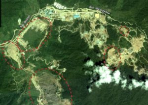
We present satellite images (slider format) of the most intense hotspots. The images reveal that the main deforestation drivers include gold mining, oil palm, and general agriculture (crops and livestock).
The hotspots detailed below are:
A. Central Amazon (Ucayali/Huánuco)
B. Southern Madre de Dios
C. Iberia (Madre de Dios)
D. Northeast San Martín
E. Nieva (Amazonas)
Palm swamps: Home sweet home for the blue and yellow macaws!
The majesty of Amazonian blue skies and the guardians of the forest have one name and it is: macaws. Their bright colorful plumage and strenuous calls bring harmony to Los Amigos landscape and are a pure delight to the human eyes. Unfortunately, these are the same characteristics that make them highly threatened by pet trade, in addition to the increased rates of habitat degradation and deforestation in the Amazon. Locations where birdwatchers, naturalists, photographers, or any environmental enthusiast can admire these stunning creatures are not many, but in ‘collpas’ or clay licks in southeastern Peru several macaws’ species can display their beauty while feeding. The collpas are locations where animals consume soil, and there are various hypotheses that explain soil consumption such as: mineral supplementation, adsorption of dietary toxins, and mechanical aid to digestion, among others.

Blue-and-yellow (Ara ararauna) macaws, one of the seven species of macaws at Los Amigos, rather than being large frequenters of clay licks are highly associated with palm swamps. However, these brightly colored birds are not attracted to just palm swamp but with the Mauritia flexuosa palm, locally known as “aguajal.” Interestingly, palm fruit is not the main reason why blue-and-yellow macaws are closely tied to this plant, instead their nesting preferences is what makes these palm swamps so appealing. Mauritia flexuosa occurs in monospecific stands, growing in mostly swampy areas. The palm’s height reaches up to 30 m and 30-60 cm in diameter, only the female individuals produce around 500 fruits every season, which are consumed by a variety of animals –including macaws- and have a social and economic importance throughout the Peruvian Amazon. Unfortunately, current harvesting techniques of the “aguaje” are decimating their population, as the female palm is chopped down in order to obtain the edible fruits.
Like most large macaw species, A. ararauna has a low reproductive rate and their reproductive behavior may be affected by the lack of appropriate nesting sites in their natural environment. Blue-and-yellow macaws nest almost exclusively in hollow and dead M. flexuosa palms, at height of approximately 15 meters. After a palm dies, the leafed crowns dry and fall, and the palm heart -located in the trunk’s interior- starts dissecating leaving a hollow trunk with solid walls, creating an ideal nesting site for macaw’s eggs incubation and chicks survival. Certainly, macaws are highly meticulous when finding an appropriate nesting site. Besides finding a dead hollow palm, they have to be isolated from tall surrounding canopy and any other hanging vegetation. In addition, while inside the hollow trunk rotting palm fibers cover the nest floor. These palm characteristics of being a hollow and dead palm that is isolated from surrounding vegetation, is doubtless a good strategy to avoid predation from voracious raptors and arboreal organisms.
A study conducted in Madre de Dios analyzed the advantages of managing M. flexuosa palm swamps to protect the nesting ecology and population of blue-and-yellow macaws. This was done in a small section of a palm swamp by cutting the top of the palms and removing the understory vegetation. Although it might seem like a drastic management tool, the study reported that cut palms persisted from 4 to 7 years, and were occupied by macaws’ nest at a rate of 24%! From this data, authors suggested that cutting 5 palms annually will generate areas of ~20 dead palms that could be used by 6 or more pairs of macaws every year, thus increasing the reproductive success of blue-and-yellow macaws. This could also be used for ecotourism purposes. In fact, Los Amigos has M. flexuosa palm swamps where blue-and-yellow macaws thrive together with scarlet and red-and-green macaws! The protection of this habitat is vital for their survival, and reminds us how amazing and enchanting the Amazon rainforest is, and how connected every organism is with this immense forest.
For further reference:
Brightsmith, D., & Bravo, A. 2006. Ecology and management of nesting blue-and-yellow macaws (Ara ararauna) in Mauritia palm swamps. Biodiversity and Conservation, 15: 4271-4287.
MAAP #77: Deforestation Hotspots in the Colombian Amazon, Part 2
We present the second in a series of story maps investigating deforestation hotspots in the Colombian Amazon. Our goal is to identify the most critical hotspots (areas with the highest densities of deforestation) and use satellite imagery to identify the primary deforestation drivers.
The first report focused on a hotspot approaching Chiribiquete National Park in Caquetá department, and the deforestation was largely driven by cattle pasture.
MAAP #77: Deforestation Hotspots in The Colombian Amazon, Part 2
We present the second in a series of story maps investigating deforestation hotspots in the Colombian Amazon. Our goal is to identify the most critical hotspots (areas with the highest densities of deforestation) and use satellite imagery to identify the primary deforestation drivers.
The first report focused on a hotspot approaching Chiribiquete National Park in Caquetá department, and the deforestation was largely driven by cattle pasture.
Here, we move to the south and focus on a hotspot surrounding La Paya National Park in Putumayo Department. We show high-resolution satellite imagery that reveals the major driver is again cattle pasture.
Please follow this link to view the Story Map: Deforestation Hotspots in the Colombian Amazon, part 2
This work reflects an important collaboration with our colleagues at Amazon Conservation Team, funded by the MacArthur Foundation.
Egg coloration in Tinamous: Are their colorful eggs a smart adaptation?
With a chicken-like appearance and terrestrial behavior, tinamous are by far some of the most common and unique birds at Los Amigos. Undulated tinamous roam around the station searching for their most delicious prey such as insects, seeds and fruits. But undulated tinamous are not the only species inhabiting Los Amigos forest. Despite their highly camouflaged plumage and lack of flight capabilities, they are definitely a group that captures the attention of any birder or naturalist. Here we tell you why!
Tinamous (Family Tinamidae) are a group of ground-dwelling birds distributed from central Mexico to southern Argentina. There are 47 tinamou species throughout the Neotropics, but it is in the southwestern Amazon where they reach their peak in diversity. Los Amigos harbors eleven of the 47 species, from the largest Great tinamou, to the tiny Little tinamou, and others such as Gray tinamou, White-throated tinamou, Cinereous tinamou, Brown tinamou, Undulated tinamou, Brazilian tinamou, Black-capped tinamou, Variegated tinamou, and Barlett’s tinamou. But what is interesting about these birds and why biologists should consider conducting more studies on this group? The answer is that tinamous are naturally rare birds; few studies have focused on them even though they are highly vulnerable to hunting and deforestation.
Compared to other Neotropical birds, tinamous have two very interesting facts: males perform parental care and the females lay exceptionally colorful eggs. Predation is one of the main causes of nest failure, thus having a direct impact on birds’ life history. In order to minimize nest failure by a predator’s visual, auditory or chemical cues, the vast majority of birds have evolved camouflaged plumage, build camouflage nests, and/or lay camouflaged eggs. The reason being that cryptic eggs are exposed to less predation risks than non-cryptic eggs, particularly for ground-nesting birds, such as tinamous. However, tinamous are an exception, laying eggs that range from bright blue green, to chocolate brown, violet and light pink colors, most of which have a glossy appearance, making the eggs stand out rather than blend with its surroundings.
Brennan (2010) aimed to understand the predation of great tinamou clutches and tried to explain why tinamou eggs are not camouflaged. For instance, Great tinamous lay large turquoise colored eggs in nests that are located on top of brown leaf litter, thus making them easy to see! Male tinamous are in charge of egg incubation, incubating almost uninterruptedly, and take care of the precocial offspring. After monitoring the nests through video cameras and egg-exchange experiments to collect DNA, Brennan found that there was a significantly higher risk of predation during incubation than during egg laying. This suggests that rather than using the egg cues (i.e. bright coloration), predators use cues from incubating males to locate clutches. High levels of nest attendance from male tinamous could possibly lead to a reduced selection for egg camouflage, thus allowing this particular trait to evolve over time and perhaps making it worthy for other functions.
Want to know more about tinamous? Make sure to keep reading #LosAmigosBirdObservatory posts on Facebook for future research updates!
For more references:
Brennan, P. 2010. Clutch predation in great tinamous Tinamus major and implications for the evolution of egg color. Journal of Avian Biology 41: 1-8. doi: 10.1111/j.1600-0587.2010.04999.x
Cabot, J. 1992. Family Tinamidae (tinamous). Pp. 112–138 in del Hoyo, J., A. Elliott, & J. Sargatal (Eds.). Handbook of the birds of the world. Volume 1: Ostrich to ducks. Lynx Edicions, Barcelona, Spain.
Davis, S. J. J .F. 2002. Ratites and tinamous. Oxford University Press. New York, New York.
Schelsky, W. M. 2004. Research and conservation of forest-dependent tinamou species in Amazonia, Peru. Ornitologia Neotropical 15: 317-321.
MAAP #76: Proposed Road Would Cross Primary Forest Along Peru-Brazil Border
In December 2017, the Peruvian Congress approved a bill that declared it in the national interest to construct new roads in the border zone of Ucayali region, which shares a remote border with Brazil.
The main proposed road in this border area would cover 172 miles and connect the towns of Puerto Esperanza and Iñapari, in the Ucayali and Madre de Dios regions, respectively. Image 76a, a mosaic of satellite images from July 2017, illustrates just how remote and intact is the area surrounding the proposed road route.
Indigenous organizations and the Ministry of Culture have warned that the road would have major impacts on the indigenous peoples in voluntary isolation that are documented to inhabit parts of this remote area.
In this report, we add new information that complements the evaluation of possible impacts by calculating how much primary forest would be threatened as a result of road construction. We found that around 680,000 acres (275,00 hectares) of primary forest are at risk. Much of this area is within protected areas and a reserve for isolated indigenous groups.