The Casa do Jornalismo Socioambiental (House of Environmental Journalism) brings together leading Brazilian journalists and media outlets to amplify local voices and share stories about the Amazon, climate, and the environment, aiming for broader national and international reach.
Belém, Brazil, November 4 – Even before COP30 officially begins (it is set to be held from November 10 to 21 in Belém), the city will pioneer a new initiative: the Casa do Jornalismo Socioambiental (House of Environmental Journalism).
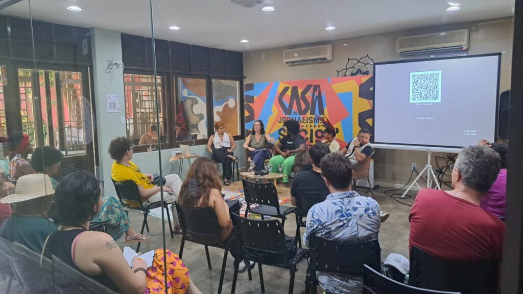 The space will serve as an operational base to host journalists from across Brazil and will feature an extensive schedule of activities for communications professionals and civil society. Activities will start on November 3 and are the result of a collaborative effort to bring in new local and global perspectives and expand audience engagement during the event.
Throughout the month, the Casa will offer workshops, panels, debates, and other events on journalism and environmental topics, as well as launch new reports, tools, and other products for both the press and civil society.
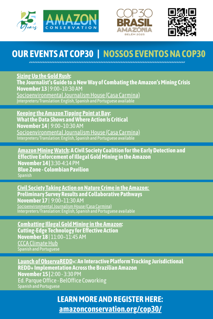
See more about Amazon Conservation Association at COP30 and our events here.
Strengthening Environmental Journalism
The Casa will strengthen the journalistic coverage of 21 media outlets, with the support of organizations such as the Amazon Conservation Association. Before, during, and after COP30, these outlets will share and republish each other’s content to better inform their audiences about the conference and the Leaders’ Summit.
“We are proud to support and strengthen independent media outlets that cover the Amazon, the heart of our mission,” said John Beavers, President of the Amazon Conservation Association. “Working across the Amazon, we see journalism as a powerful ally in communicating accurate, science-based information and helping audiences understand the complexity and urgency of the Amazon Rainforest. At COP30, we will share new scientific findings on the Amazon’s tipping point and present our Amazon Mining Watch platform, developed with partners including the Pulitzer Center, to highlight solutions and data that can help drive informed action.”
 Partner outlets will also have access to a fully equipped workspace throughout the month.The Casa will serve as a hub for dozens of journalists from across Brazil, providing a space for networking, information exchange, and collaborative reporting.
Who are the Partners?
The Casa was conceived and organized over the past year by the teams of InfoAmazonia, #Colabora, Envolverde, Eco Nordeste, ((o))eco, Amazônia Vox, Associação de Jornalismo Digital (Ajor), and Open Knowledge Brasil.
Also joining the collaborative coverage effort are Agência Pública, Alma Preta, Ambiental Media, AzMina, Carta Amazônia, Ciência Suja, Intercept Brasil, Nexo, O Joio e O Trigo, Repórter Brasil, Revista Cenarium, Site Independente A LENTE, Agência Urutau, O Varadouro, and Voz da Terra.
To make the coverage more diverse and representative, these outlets will coordinate daily editorial themes of shared interest to avoid duplicating stories and amplify reach while centering the voices of traditional peoples, marginalized communities, and those most affected by climate negotiations.
International audiences will also have access to this coverage; more than 70 reports will be translated into English and Spanish and distributed to media outlets through LatAm Intersect PR, Burness, and Approach, as well as through the networks of the participating outlets. All content will be made freely available to the InfoAmazonia Citizen Network, a coalition of 25 journalism organizations from the nine Amazonian states.
The Casa do Jornalismo Socioambiental is funded by the Climate and Land Use Alliance (CLUA), whose core support makes the initiative possible. It is also supported by the Itaú Foundation (with expanded participation in activities) and the Climate and Society Institute (iCS), which plays a key role in consolidating the project.
Completing the Casa’s network of supporters are the Amazon Conservation Association, Pulitzer Center, Greenpeace, Covering Climate Now, Heinrich Böll, Oxfam Brasil, Deutsche Gesellschaft für Internationale Zusammenarbeit (GIZ), Ciência Hoje, Fundação Rosa Luxemburgo and ITS Rio.
Original Content Production
The outlets participating in the Casa do Jornalismo Socioambiental will produce a variety of content designed to expand reach and ensure real-time, in-depth coverage.
Among the new tools of this collaborative coverage is a real-time feed — a platform that will gather minute-by-minute updates from both official and side events at COP30 in Belém. With multimedia content — including text, photos, audio, and short videos — the feed will be constantly updated by more than 30 reporters from national and local outlets specializing in environmental coverage.
The feed will be integrated into the websites of all partner outlets, allowing readers to follow developments and dive deeper into stories through direct links to full reports.
By bringing together dozens of journalists in a unified effort, this initiative around COP30 represents one of the largest collaborative environmental journalism projects ever organized in Brazil.
—-
What: Casa do Jornalismo Socioambiental
Where: Casa Carmina – Rua Arcipreste Manoel Teodoro, 864, near Praça da República, Belém (PA)
Press contacts: Priscila Steffen – psteffen@amazonconservation.org ; Thayane Guimarães – thayane.guimaraes@infoamazonia.org
—-
About Amazon Conservation Association
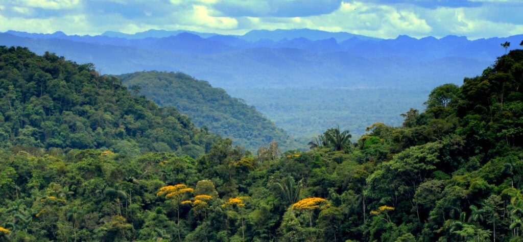
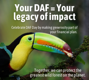
Amazon Conservation is an international conservation nonprofit working for the past 25 years towards building a thriving Amazon. The organization’s holistic approach focuses on working with local partners and allies to protect wild places, empower people, and put science and technology to work for conservation. Visit amazonconservation.org for more information.

 The Amazon faces mounting pressures—from deforestation and illegal mining to climate change. Using cutting-edge science and technology, local teams are tracking and responding to threats in real time. Your gift today fuels solutions with measurable impact on both forests and the people who depend on them.
 Protect vital ecosystems from growing pressures including agriculture, infrastructure, and resource extraction.
 Green Friday is about more than shopping—it’s about supporting businesses that act with intention. By choosing partners who prioritize sustainability and platforms that make giving back easy, you’re helping protect the Amazon, strengthen local communities, and support a thriving, resilient planet for all.
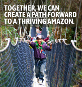 This
This 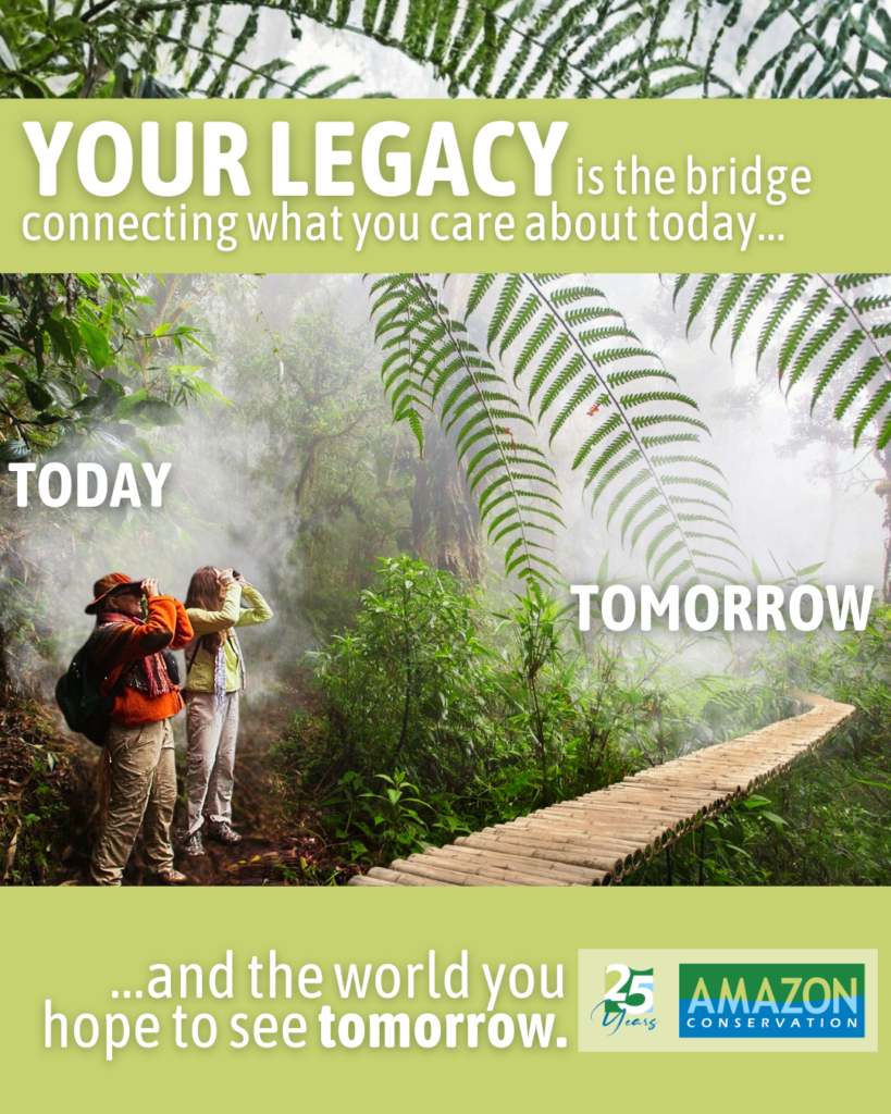
 For 25 years, Amazon Conservation has worked hand in hand with Indigenous communities and local partners to protect the Amazon’s most important forests and rivers. Your generosity makes it possible for people across the Amazon to build better futures while protecting the forest we all depend on. Thanks to donors like you, communities are finding sustainable alternatives to destructive industries such as illegal mining and logging.
  Loading...


