
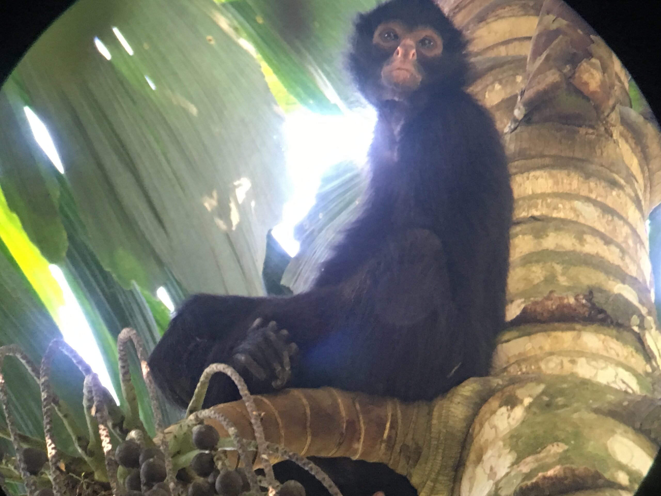
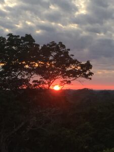
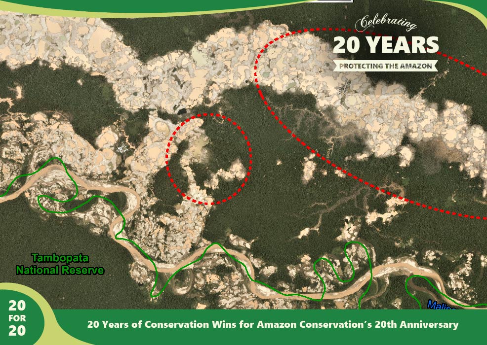
The Southwest Amazon Drone Center located in the Peruvian Amazon, launched in 2017, focuses on training local landowners, indigenous communities, students, and officials in Peru to actively monitor and report illegal deforestation in the western Amazon as well as providing drone overflights for the local government upon request.
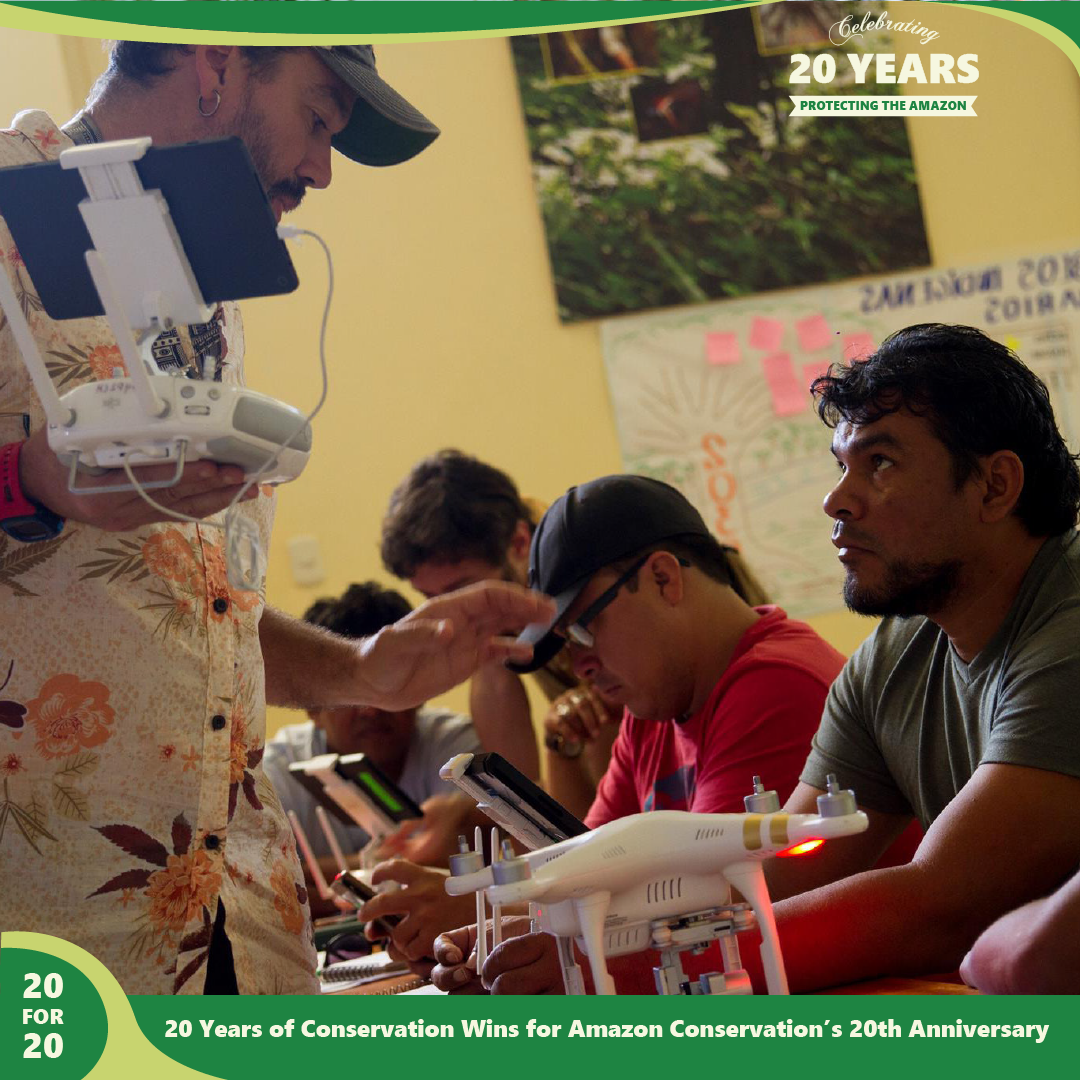 This center allows for local community members to obtain training, certifications, and access to high-tech drones that can be used as remote sensing tools to monitor deforestation in tropical forests in a safe, fast, and scientific way. Last year, we trained and certified 89 individuals in using drones and smartphone apps to detect illegal activities in remote areas of their forests, and report them using drone imagery as legally-admissible evidence for law enforcement to be able to take action and prosecute offenders. Sixteen of the new users were women, and their numbers continue to increase as we focus on their inclusion in this type of training.
By providing these services, we empower people to protect their forests by giving them the tools needed increase legal responses to illegal activities. Presenting evidence, such as drone photos and videos of unlawful deforestation or mining, can be used to prosecute offenders which then deters future illegal activities. Moreover, the use of drone technology is important due to the vastness and remoteness of the Amazon Rainforest — it is a challenge to patrol by foot and stop incidents of illegal deforestation. Face-to-face encounters with those conducting illegal deforestation for financial gain can also be extremely dangerous, and potentially deadly. With technology, Amazon Conservation is changing that.
This story is part of a series commemorating our 20th anniversary protecting the Amazon. We’re celebrating this milestone with a look back at our 20 biggest conservation wins over the past 20 years. Click here to support trainings that help local community members in the Amazon protect their forests.

 Details:

 Loading...


