In the 1990s, deforestation in the Amazon was a big news story. While now less prominent in the mainstream media in the  U.S., protection of the planet’s richest forest is more critical than ever, especially as we seek to halt global climate change.
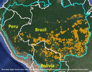
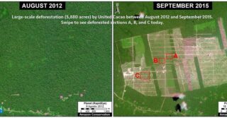
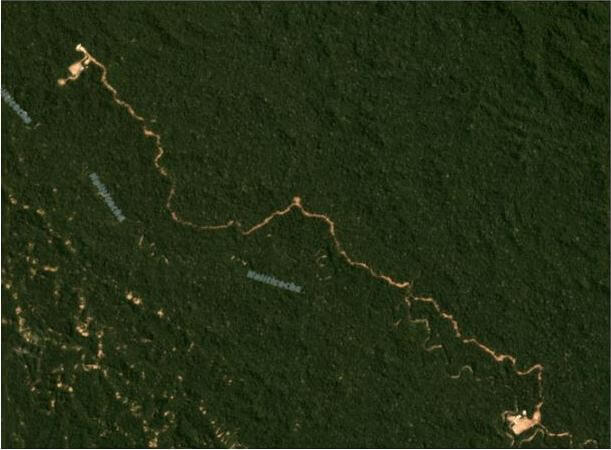
This week, El Comercio, Peru’s leading newspaper, published an alarming story based on Amazon Conservation’s forest monitoring program showing the rapid devastation caused by illegal gold mining across wide swaths of southern Amazon forests. Unsustainable agricultural expansion, illegal logging, and large infrastructure projects also threaten this great wilderness. If current rates of deforestation continue, it is estimated that more than half of the Amazon may be destroyed or severely damaged by 2030. This would be an incredible loss for the planet and affect us all, as the rainforest stores 80 to 120 billion tons of carbon, stabilizing the world’s climate, and produces 20% of the oxygen we breathe.
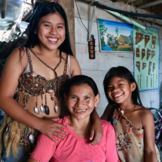
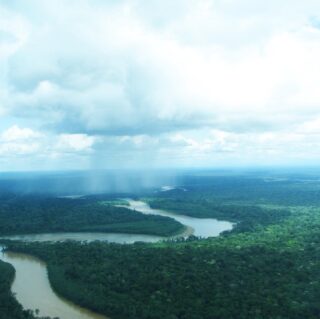
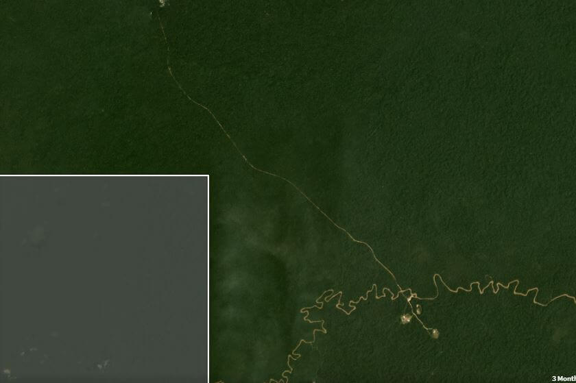
 Our deforestation analysis also highlights what’s working in the Amazon. As reported by El Comercio, Peru’s Park Service in cooperation with other government entities, including the Army and Environmental Prosecutor’s office, successfully halted recent invasions by illegal gold mining inside the spectacular forests and rivers of the Tambopata National Reserve! Local communities also play a key role in protection, like the indigenous community of Matoriato which recently declared a 4,000 acre conservation area on their ancestral communal territory with our assistance. I invite you to support these forest guardians whose work on the ground help save this global treasure.

Hannah Stutzman, Executive Director
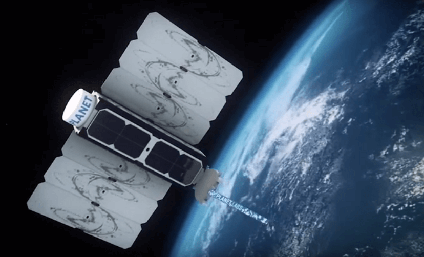
 For me, research and science are means of innovation, creativity, and communication; they are tools to help us discover the unknown with the hope for a better future. As a woman scientist, I would like to see more of us working and leading projects towards a more equitable, just and sustainable world, breaking down all gender-based stereotypes. I truly believe that we have the capability, strength and power to enrich and deepen the knowledge of nature, opening new opportunities for innovation and original solutions to the most difficult challenges on Earth.
  Since I was a kid, I had the opportunity to live and be in touch with natural environments, which make my empathy and interest for animals and plants grow. I think I was lucky to receive a good education and motivation at home as well as at school, because I never thought I couldn’t be a scientist. Though it is not an easy path, especially in a developing country, I believe that here where we need science the most. Many times girls don’t even think about becoming scientists, but it is a worthy path that is needed so much right now to protect the only planet we have.
 I have had the privilege of contributing to the creation and management of natural reserves, wildlife rescue operations, environmental education programs, and research on forest and wildlife ecology in the Tropics. Science allows me to fulfill my personal desire to contribute to nature conservation for the enjoyment of future generations. Now one of my main goals is to inspire young scientists and provide them with opportunities to follow their passion, to experience science first hand, and to fall in love with this profession, like I did.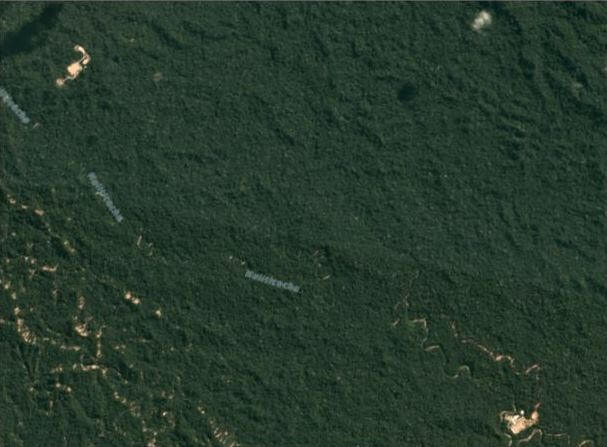
 Loading...