
Following the intense Amazon fire season of 2019 that made international headlines, here we report another major fire year in 2020.
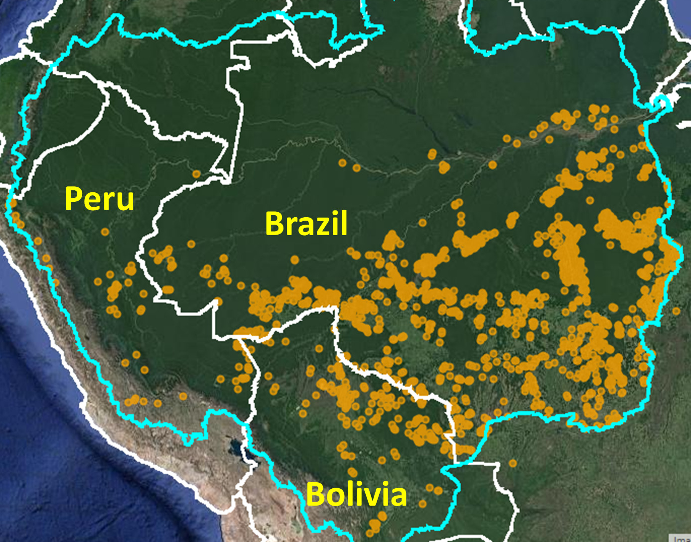
Using our novel real-time Amazon Fires Monitoring app,* we documented over 2,500 major fires across the Amazon in 2020 (see Base Map).
Of these, 88% (2,192 major fires) were in the Brazilian Amazon.
The other 8% (205 fires) and 4% (88 fires) were in the Bolivian and Peruvian Amazon, respectively.
We highlight four major headlines:
- In the Brazilian Amazon, most fires (51%) burned recently deforested areas, emphasizing the current high deforestation rates.
- Also in the Brazilian Amazon, in September there was a major spike in forest fires, impacting vast areas of standing forest.
- In the Bolivian Amazon, many of the fires burned savanna and dry forest ecosystems within protected areas.
- In the Peruvian Amazon, most fires burned recently deforested areas and high elevation grasslands.
See below for major findings by country.*
Brazilian Amazon
We emphasize the following major findings for the Brazilian Amazon:
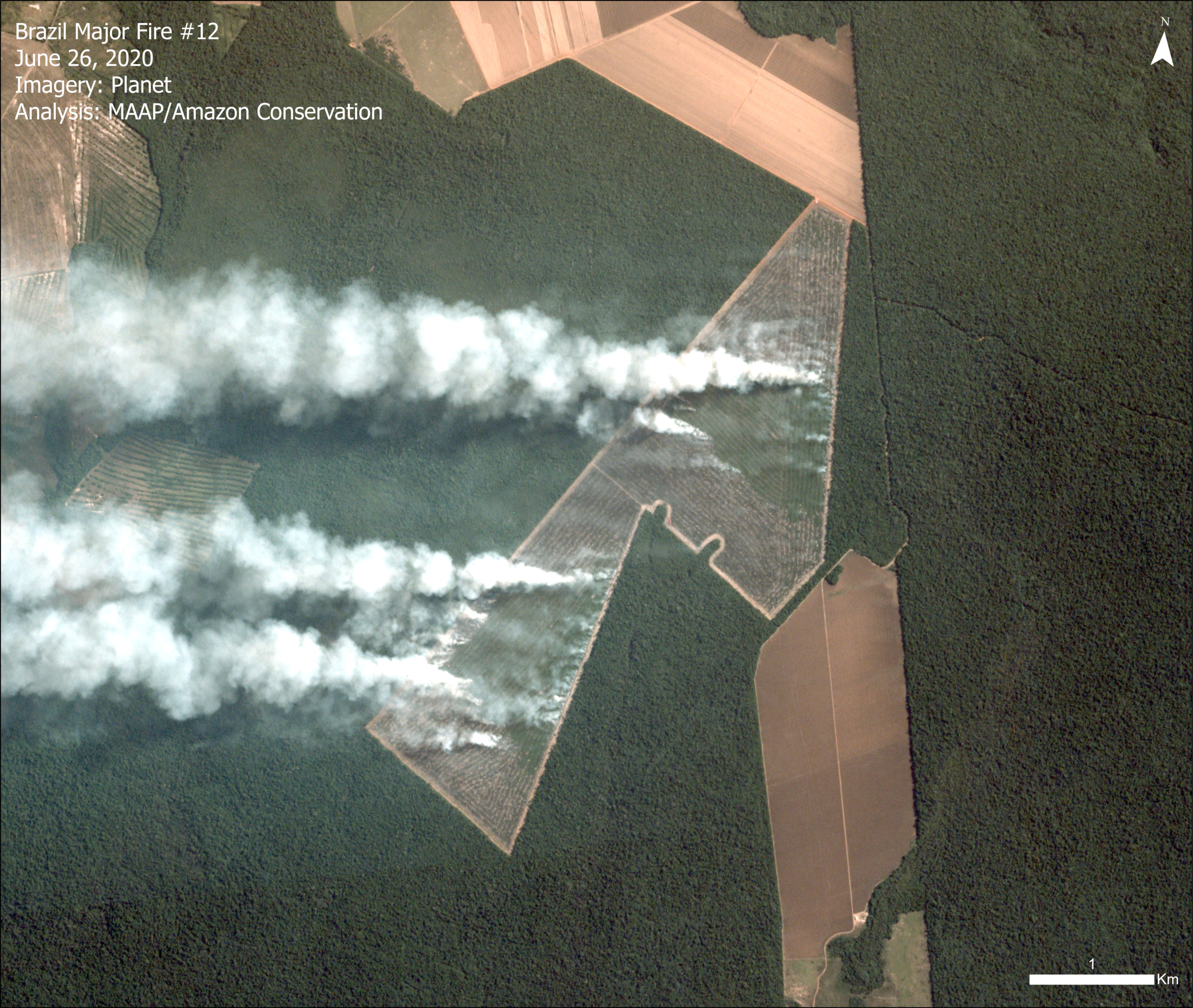
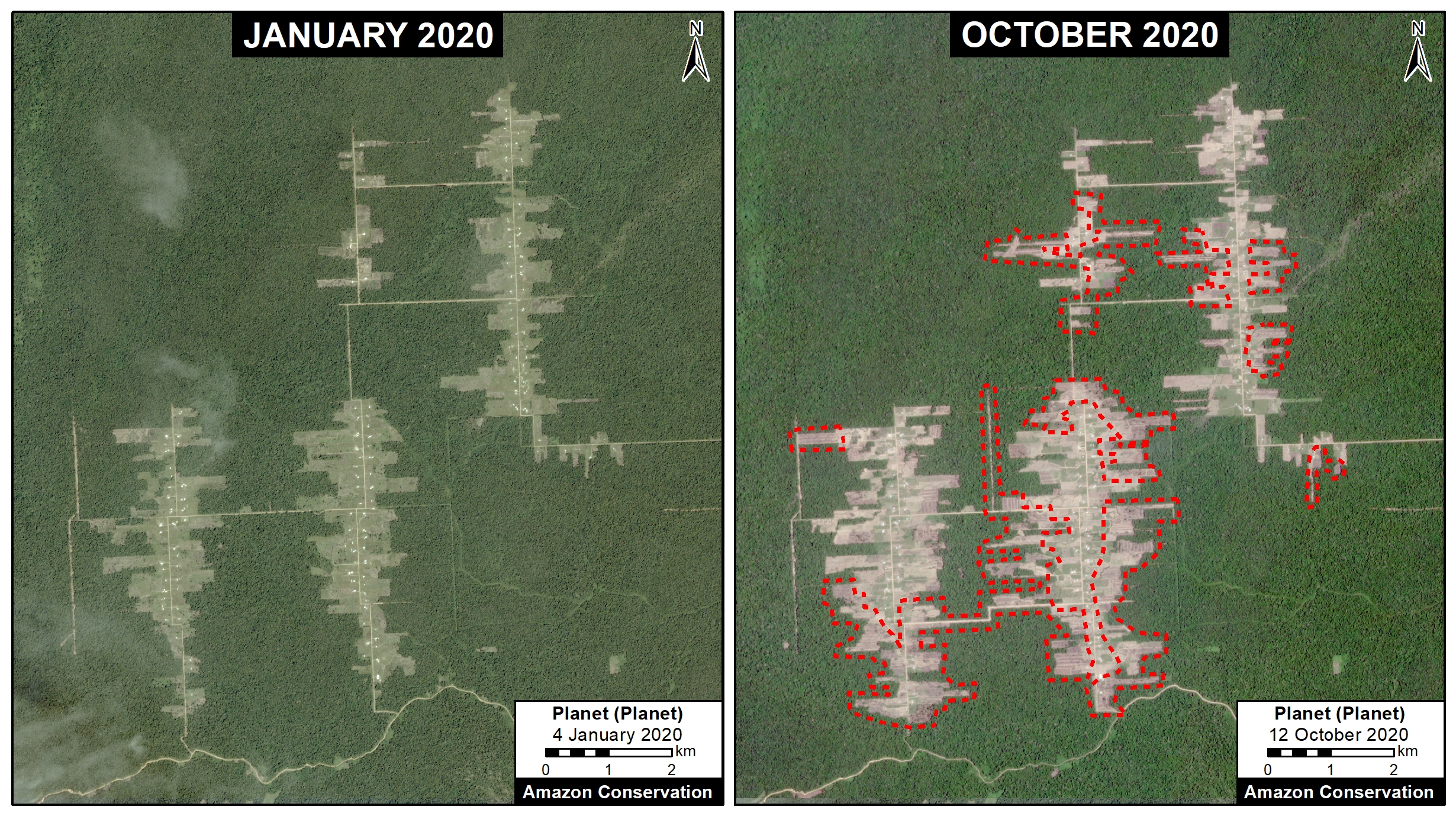
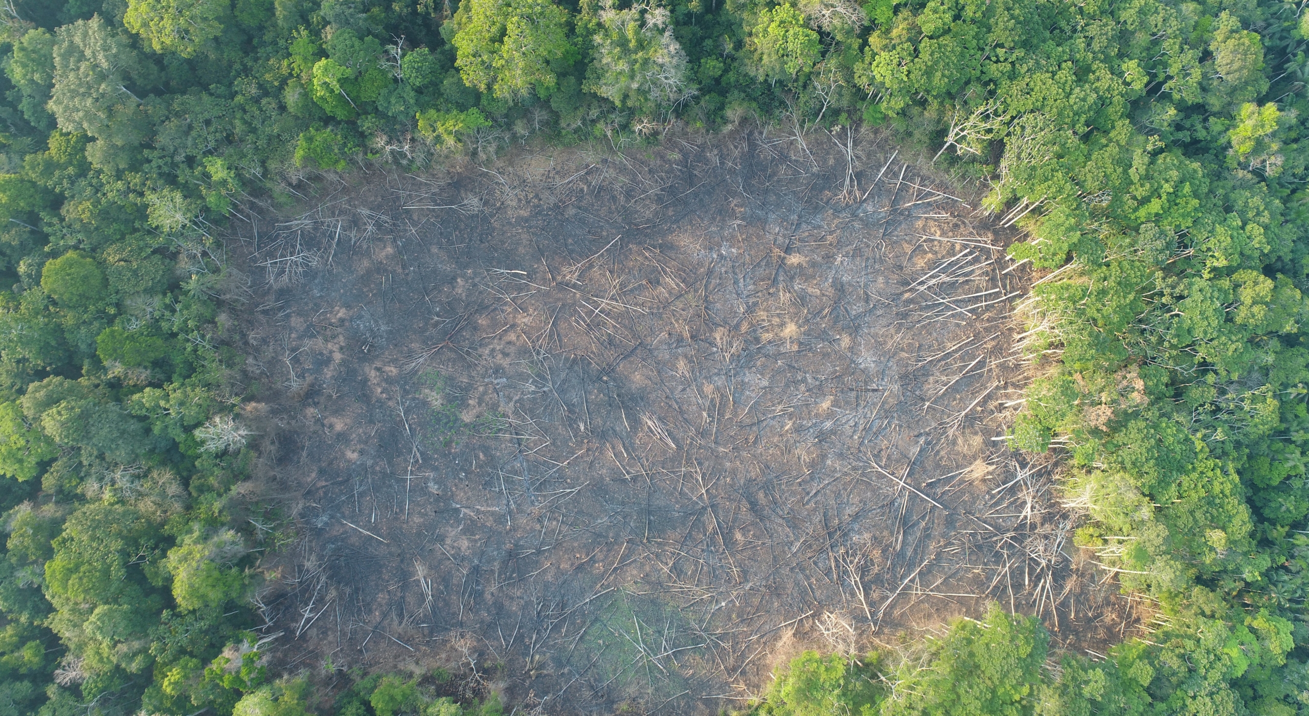
- Over half (51%) burned recently deforested areas, defined as areas where the forest was previously cleared between 2018 and 2020 prior to burning (Image 1). These fires burned an estimated 1.8 million acres (742,000 hectares), highlighting the massive current deforestation in Brazil.
- A striking number (41%) were forest fires, defined here as human-caused fires in standing forest. A rough initial estimate suggests that 5.4 million acres (2.2 million hectares) of Amazon forest burned.
- Over half (52%) occurred in September, followed by August (26%). September was also when we documented a major shift from recently deforested area fires to forest fires.
- An important number of major fires (13%) occurred within indigenous territories and protected areas. The most impacted were Xingu and Kayapó Indigenous Territories, Jamanxim National Forest, and Nascentes da Serra do Cachimbo Biological Reserve.
- The vast majority of the major fires (99%) appear to be illegal, occurring after the fire moratoriums established in July.
- Para (39%) and Mato Grosso (30%) states had the most fires, followed by Amazonas (16%), Rondonia (11%), and Acre (4%).
Bolivian Amazon
We emphasize the following major findings for the Bolivian Amazon:
- Many of the fires (46%) occurred in savannas.
- Another 42% of the fires were located in forests, mostly in the dry forests of the Chiquitano. Note, in November there was a major spike in these fires.
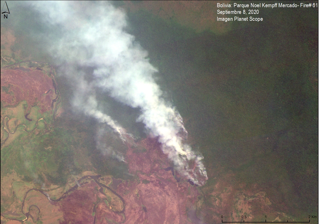
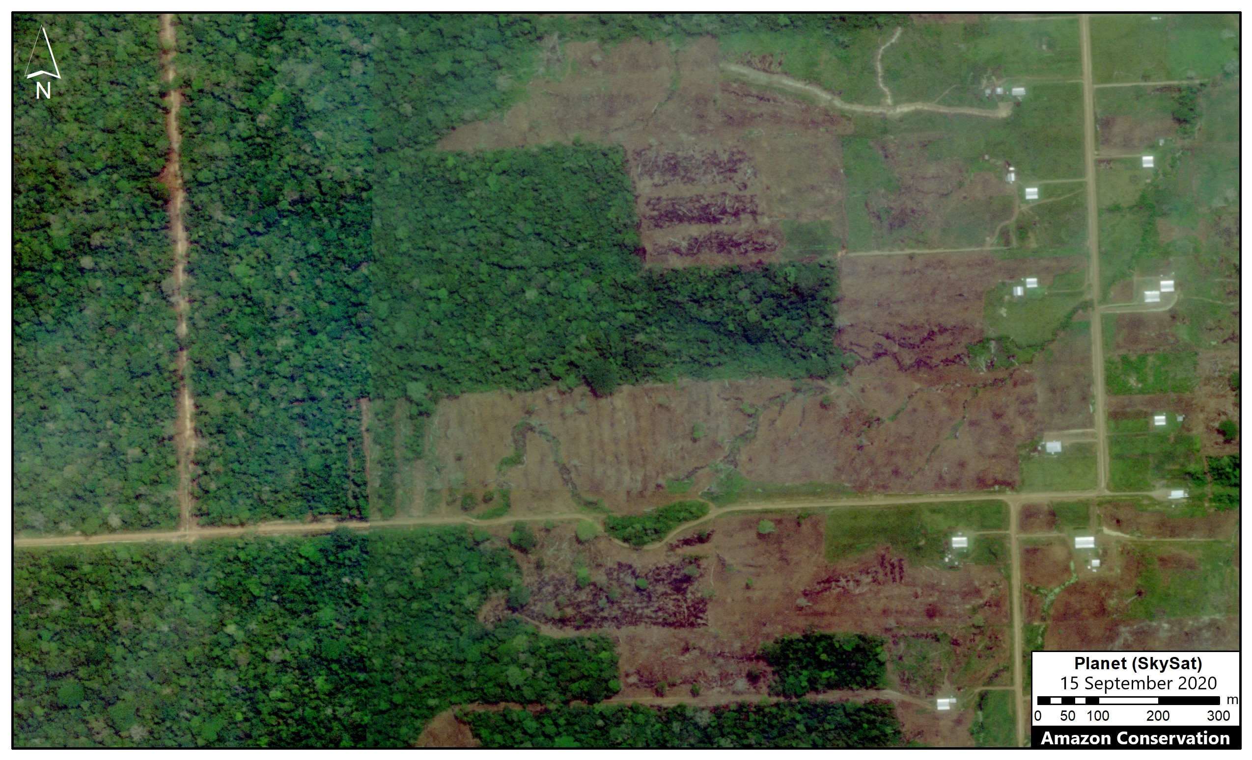
- Importantly, 25% of the major fires were in protected areas. The most impacted were Noel Kempff Mercado National Park (Image 2), Copaibo Municipal Protected Area, Iténez National Park, Keneth Lee Reserve, Rios Blanco y Negro Wildlife Reserve, and Pampas del Río Yacuma Integrated Management Natural Area.
- Most of the fires occurred in the department of Beni (51%), followed by Santa Cruz (46%).
- August had the most fires (27%) followed closely by each of September, October, and November (24% each).
Peruvian Amazon

We emphasize the following major findings for the Peruvian Amazon:
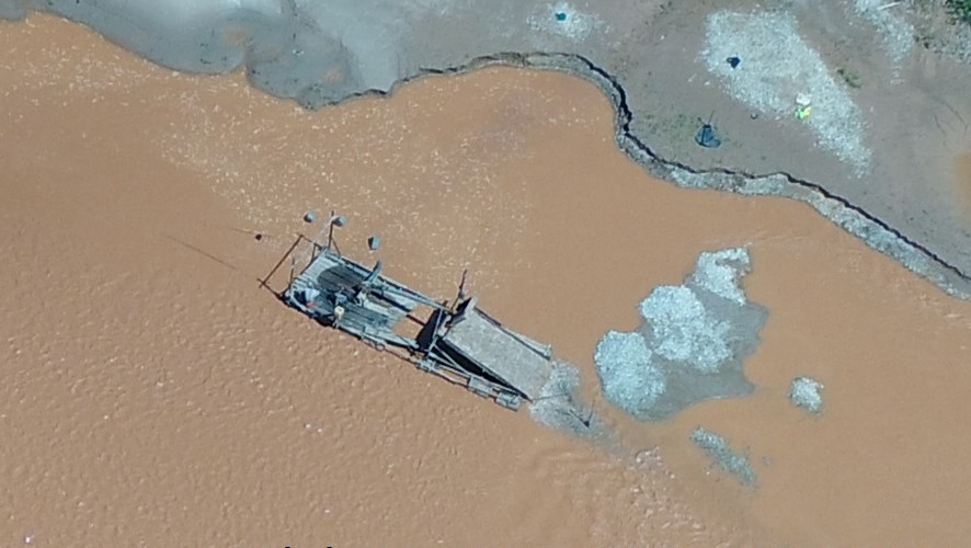
- Most of the major fires (56%) burned recently deforested areas. Although the pattern is similar to the Brazilian Amazon, the burned (and previously deforested) areas are much smaller.
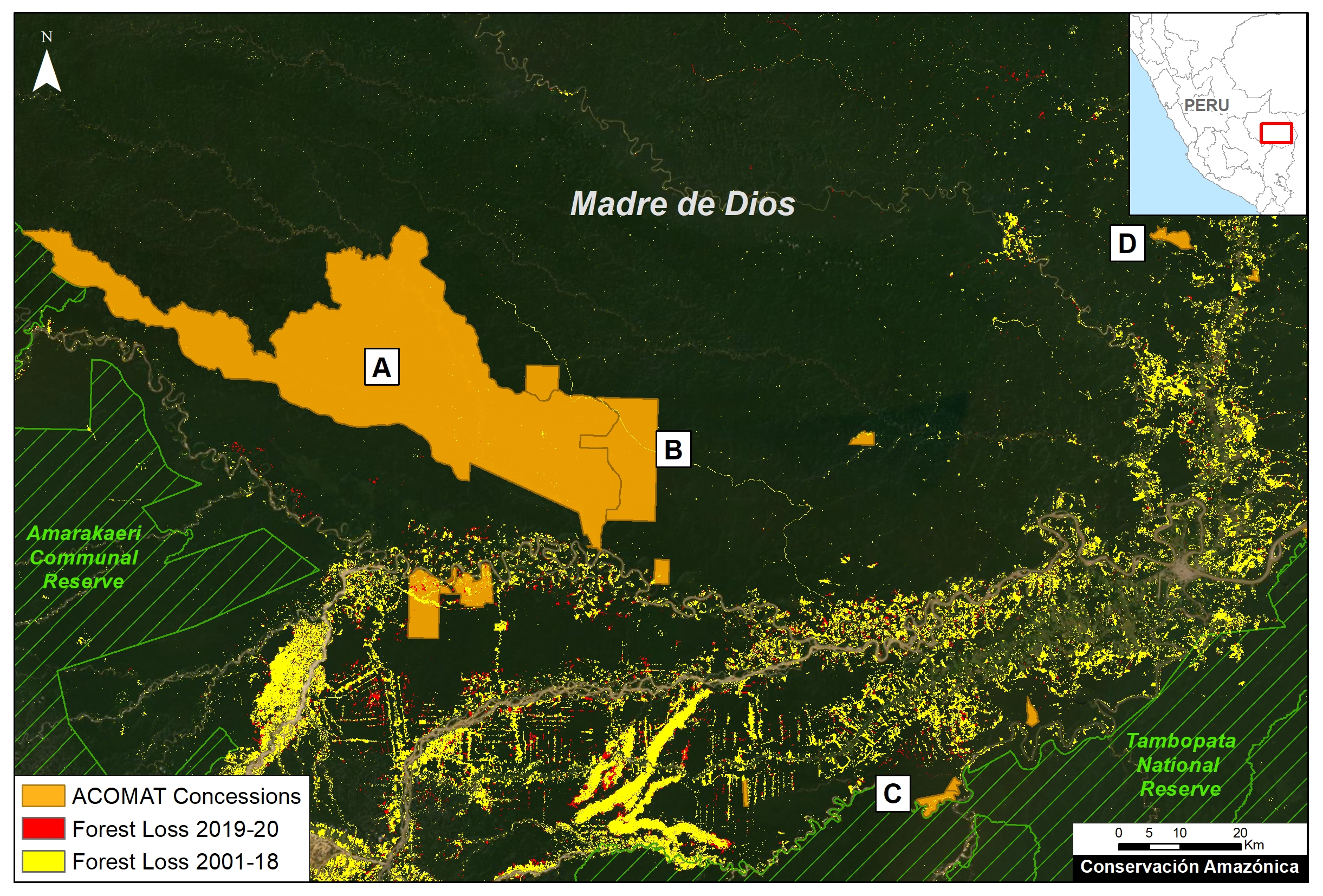
- Most of these fires occurred in three regions, Madre de Dios (40%), Ucayali (21%), and Huánuco (15%).
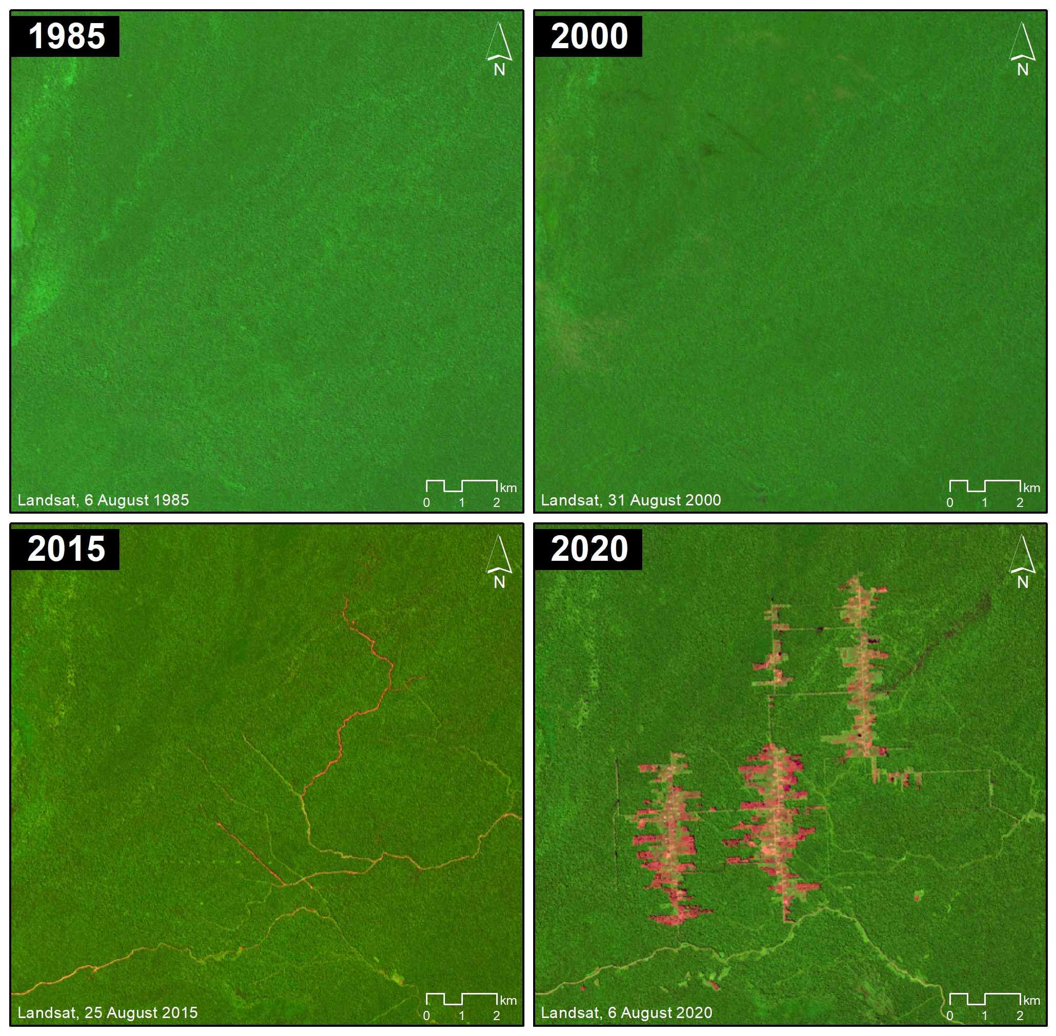
- There were also numerous major fires (28%) in higher elevation grasslands across several regions (Image 3). We underestimated the number of these fires because, due to the lack of biomass in these ecosystems, they didn’t always register as a major fire in the app.
- October had the most fires (49%) followed by September (38%).
*Notes
The data, updated through November 8, is based on our analysis of Amazon Conservation’s novel real-time Amazon Fires Monitoring app. The app displays aerosol emissions as detected by the European Space Agency’s Sentinel-5 satellite. Elevated aerosol levels indicate the burning of large amounts of biomass, defined here as a “major fire”.
Also, check out Mongabay’s real-time Brazilian Amazon fire tracker based on our analysis.
Acknowledgements
The app was developed and updated daily by Conservación Amazónica (ACCA). The data analysis is led by Amazon Conservation in collaboration with SERVIR Amazonia.
Citation
Finer M, Villa L, Vale H, Ariñez A, Nicolau A, Walker K (2020) Amazon Fires 2020 – Recap of Another Intense Fire Year. MAAP: 129.


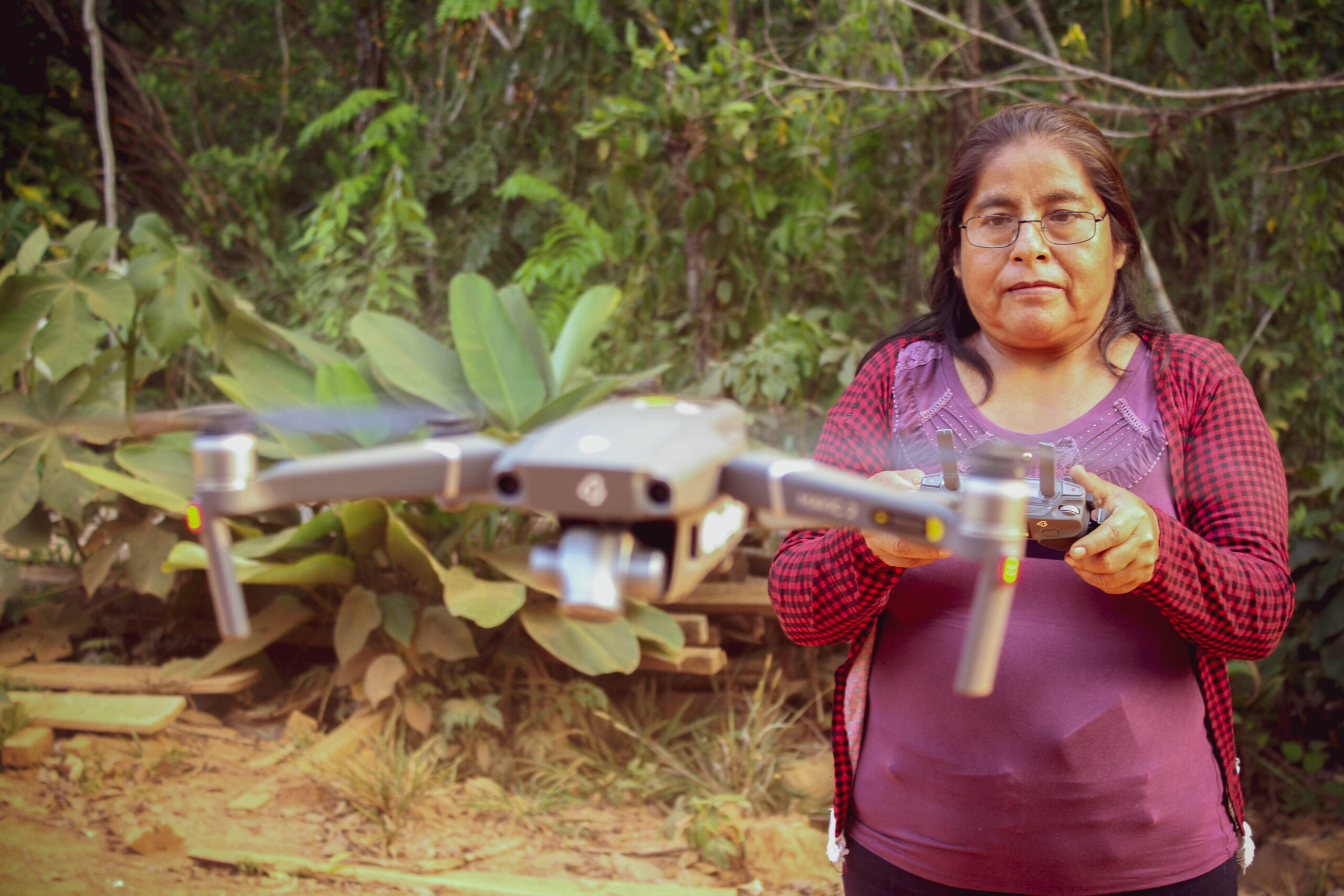
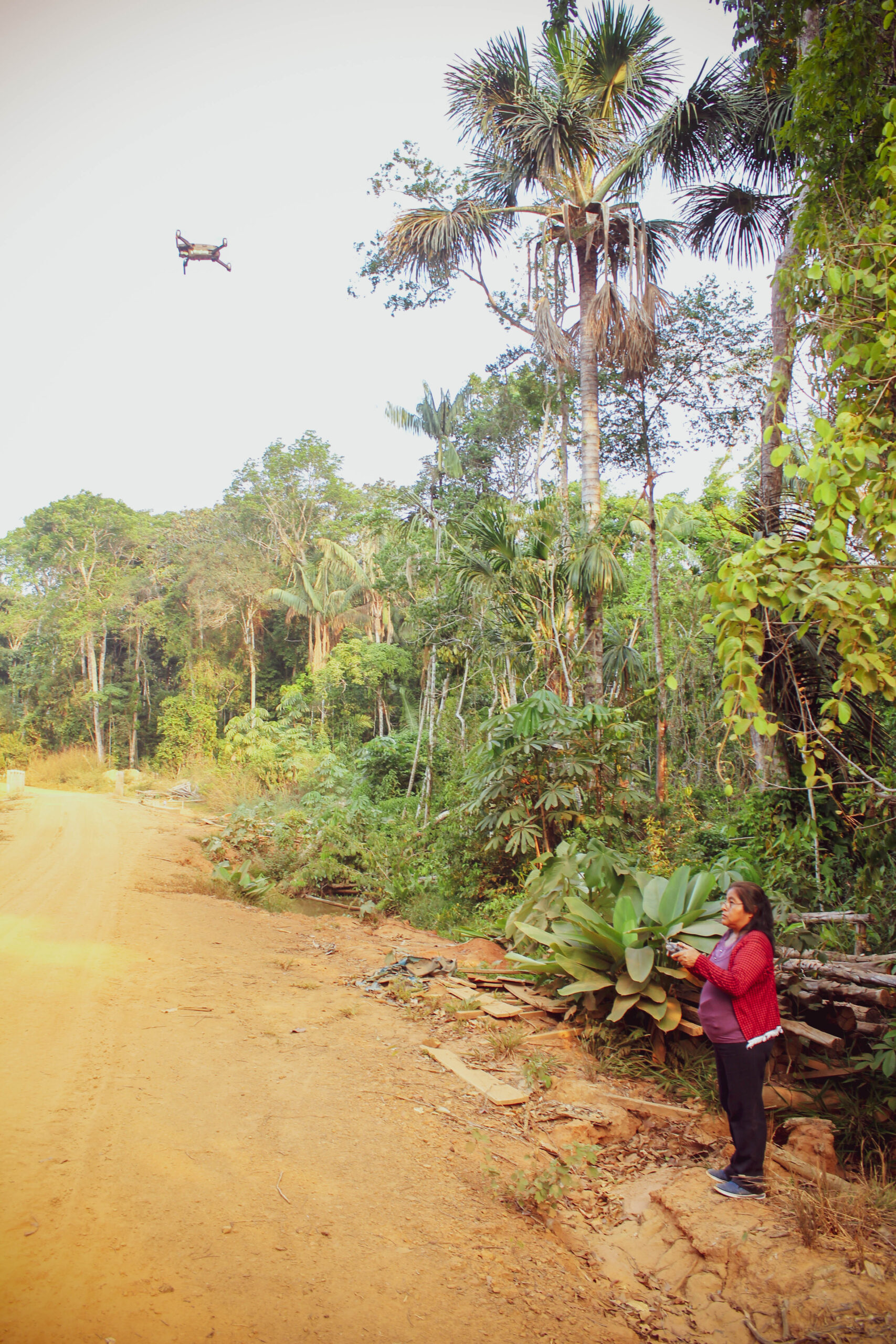
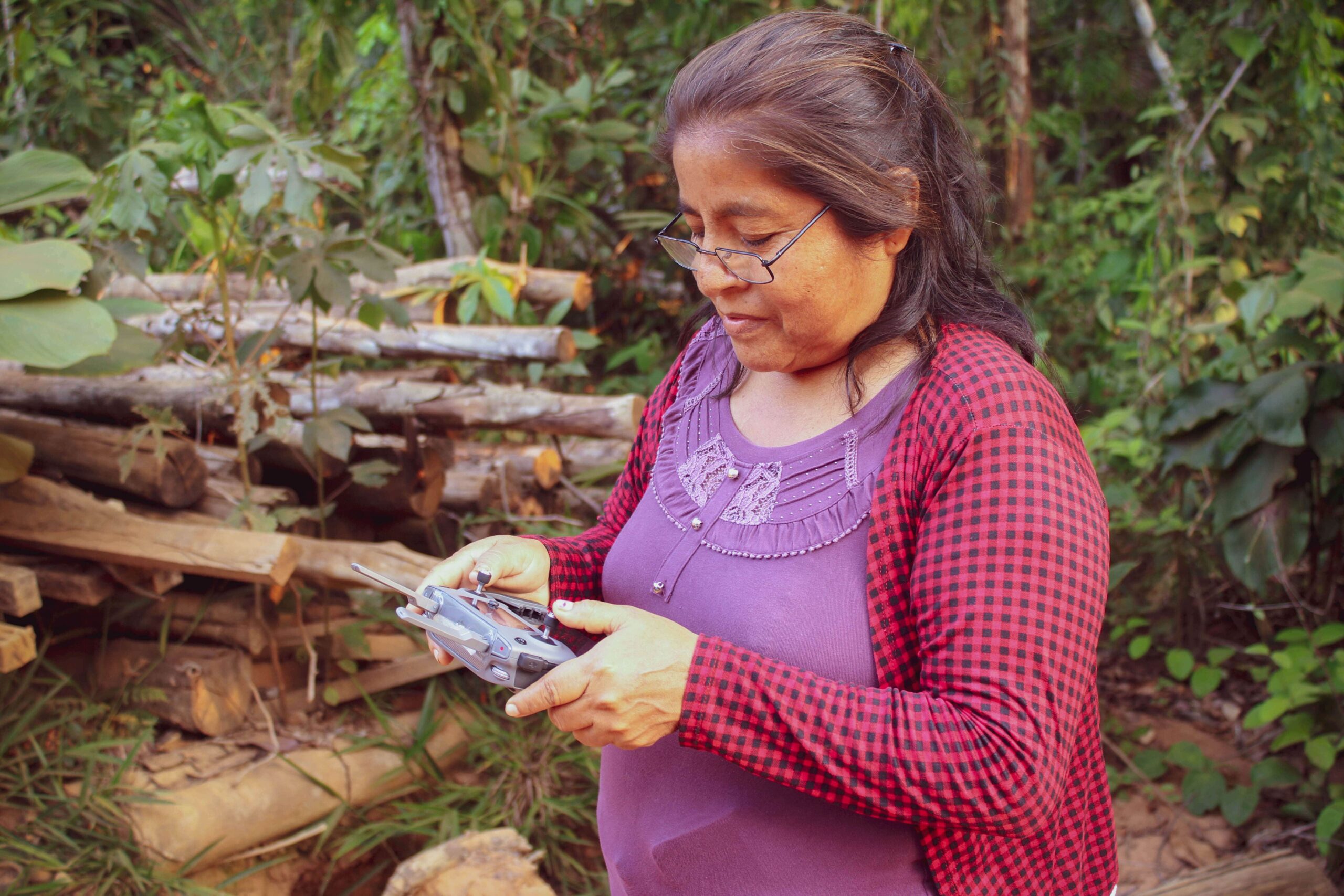
 received all the technology she needed to do regular surveillance of her forest remotely, including a Mavic 2 drone, an iPhone 7 plus to run satellite monitoring smartphone apps, a computer and a printer.
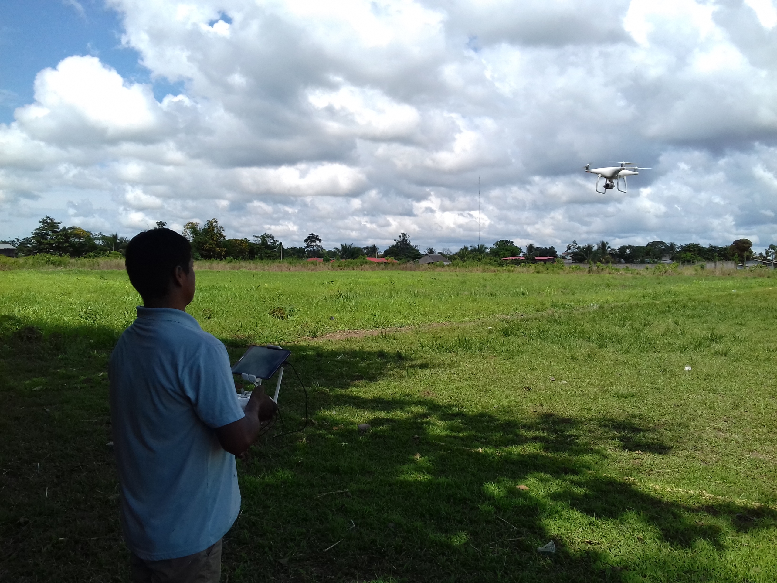
 This report was conducted with technical assistance from USAID, via the Prevent project. Prevent is an initiative that, over the next 5 years, will work with the Government of Peru, civil society, and the private sector to prevent and combat environmental crimes in Loreto, Ucayali and Madre de Dios, in order to conserve the Peruvian Amazon.
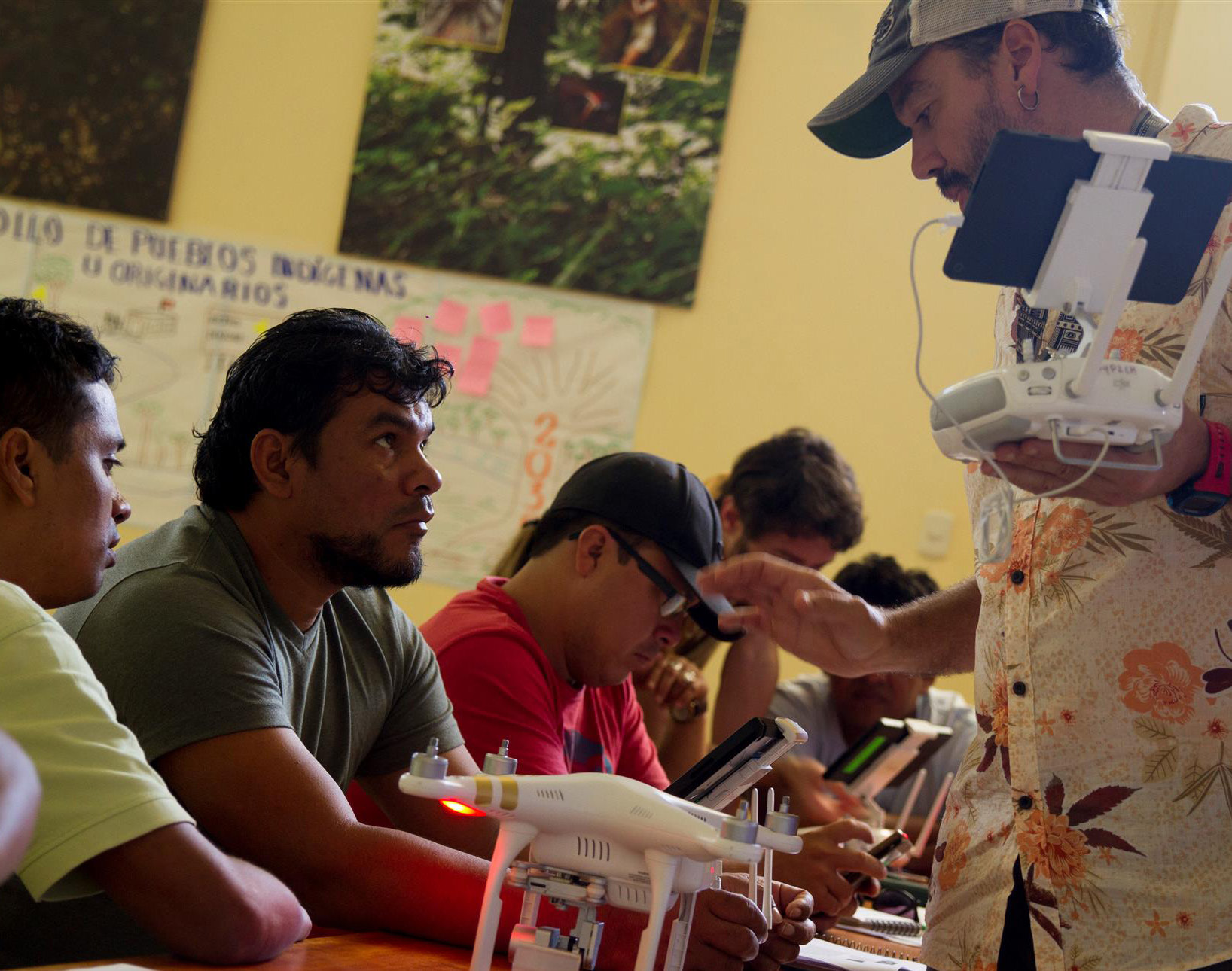

 Loading...


